Salina in Sevier County, Utah — The American Mountains (Southwest)
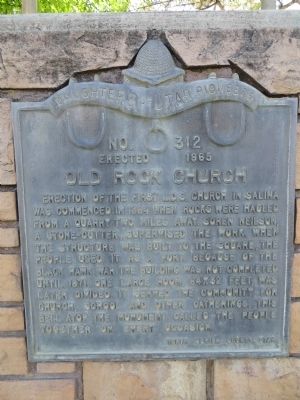
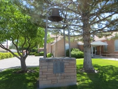
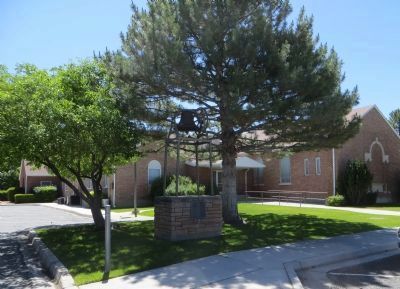
Old Rock Church
Erected 1965 by Daughters of Utah Pioneers. (Marker Number 312.)
Topics and series. This historical marker is listed in this topic list: Churches & Religion. In addition, it is included in the Daughters of Utah Pioneers series list. A significant historical year for this entry is 1864.
Location. 38° 57.407′ N, 111° 51.489′ W. Marker is in Salina, Utah, in Sevier County. Marker is on South 100 East just north of East 100 South, on the right when traveling north. Touch for map. Marker is in this post office area: Salina UT 84654, United States of America. Touch for directions.
Other nearby markers. At least 8 other markers are within 10 miles of this marker, measured as the crow flies. Salina Fort & Tithing Office (within shouting distance of this marker); The Crosby Memorial Presbyterian Church and School of Salina (approx. 0.2 miles away); Camp Salina (approx. 0.6 miles away); Outbreak of Black Hawk War (approx. 1˝ miles away); Redmond Town Hall (approx. 3.4 miles away); Settlement of Aurora (approx. 4.8 miles away); Settlement of Axtell (approx. 7.1 miles away); Battle of Cedar Ridge (approx. 9.6 miles away). Touch for a list and map of all markers in Salina.
Credits. This page was last revised on June 16, 2016. It was originally submitted on June 26, 2014, by Bill Kirchner of Tucson, Arizona. This page has been viewed 457 times since then and 17 times this year. Photos: 1, 2, 3. submitted on June 26, 2014, by Bill Kirchner of Tucson, Arizona. • Syd Whittle was the editor who published this page.


