Manti in Sanpete County, Utah — The American Mountains (Southwest)
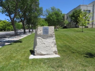
Log Fort
Erected 1853
— by Mormon Pioneers —
Location: Encompassed Little
Fort and covered about 1 block.
Walls of cabins formed part of the
fort walls and fort had
four guard towers
Jezerael Shoemaker, Mayor
1852-1853
Topics. This historical marker is listed in this topic list: Forts and Castles.
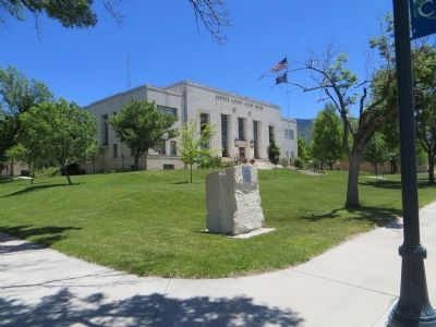
Location. 39° 16.09′ N, 111° 38.21′ W. Marker is in Manti, Utah, in Sanpete County. Marker is at the intersection of North Main Street and 200 North Street, on the right when traveling north on North Main Street. Marker is on the southeast corner. Touch for map. Marker is in this post office area: Manti UT 84642, United States of America. Touch for directions.
Other nearby markers. At least 8 other markers are within walking distance of this marker. Manti City Hall (within shouting distance of this marker); Little Stone Fort (about 500 feet away, measured in a direct line); John Patten House (approx. 0.2 miles away); Cox-Shoemaker-Parry House (approx. 0.2 miles away); Pioneer Memorial Cabin (approx. 0.2 miles away); Manti Carnegie Library (approx. 0.2 miles away); Big Fort (approx. ¼ mile away); Manti Bell Tower (approx. 0.3 miles away). Touch for a list and map of all markers in Manti.
Credits. This page was last revised on June 16, 2016. It was originally submitted on June 30, 2014, by Bill Kirchner of Tucson, Arizona. This page has been viewed 419 times since then and 14 times this year. Photos: 1, 2, 3. submitted on June 30, 2014, by Bill Kirchner of Tucson, Arizona. • Syd Whittle was the editor who published this page.


