Upper Marlboro in Prince George's County, Maryland — The American Northeast (Mid-Atlantic)
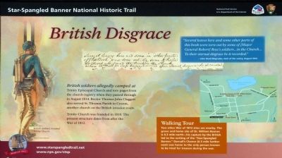
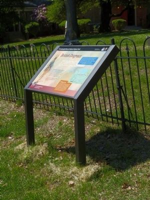
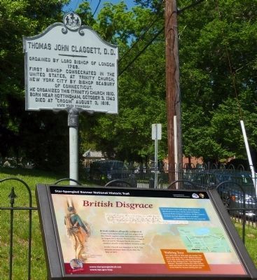
British Disgrace
Star-Spangled Banner National Historic Trail
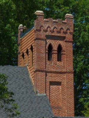
Trinity Church was founded in 1810. The present structure dates from after the War of 1812.
Erected 2014.
Topics and series. This historical marker is listed in these topic lists: Churches & Religion • War of 1812. In addition, it is included in the Star Spangled Banner National Historic Trail series list. A significant historical year for this entry is 1814.
Location. 38° 48.891′ N, 76° 45.163′ W. Marker is in Upper Marlboro, Maryland, in Prince George's County. Marker can be reached from Church Street. Marker is at Trinity Episcopal Church. Touch for map. Marker is at or near this postal address: 14515 Church St,, Upper Marlboro MD 20772, United States of America. Touch for directions.
Other nearby markers. At least 8 other markers are within walking distance of this marker. Thomas John Claggett, D.D. (a few steps from this marker); Baltimore-Southern Maryland Trunk Line (about 500 feet away, measured in a direct line); Marlborough (about 500 feet away); Birthplace of John Carroll (approx. 0.2 miles away); Archbishop John Carroll (approx. 0.2 miles away); The Site of the Residence of Dr. William Beanes (approx. 0.2 miles away); Marlboro Academy (approx. 0.2 miles away); Protests at the County Courthouse (approx. 0.2 miles away). Touch for a list and map of all markers in Upper Marlboro.
Photographed By Allen C. Browne, May 25, 2014
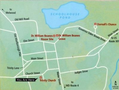
5. Walking Tour
Two other War of 1812 sites are nearby. The grave and home site of Dr. William Beanes is 0.3 mile north—his capture by the British led to the writing of the “Star-Spangled Banner.” Darnall’s Chance (0.3 mile farther east) was home to the only person known to be tried for treason during the war.for treason during the war.Close-up of map on marker

Photographed By Allen C. Browne, May 25, 2014
6. Trinity Church Registry
“Several leaves here and some other parts of this book were torn out by some of [Major General Robert] Ross’s soldiers...in the Church... To their eternal disgrace be it recorded.” — John Read Magruder, clerk of the vestry, August 1814Close-up of image on marker
Credits. This page was last revised on June 16, 2016. It was originally submitted on July 2, 2014, by Allen C. Browne of Silver Spring, Maryland. This page has been viewed 438 times since then and 12 times this year. Photos: 1, 2, 3, 4, 5, 6, 7, 8. submitted on July 2, 2014, by Allen C. Browne of Silver Spring, Maryland. • Bill Pfingsten was the editor who published this page.
