
Rockland in Victoria in Capital Region, British Columbia — Canada’s West Coast (North America)
Stone Boundary Marker
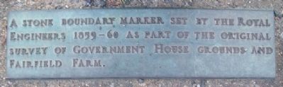
Photographed by William Fischer, Jr., May 21, 2014
1. Stone Boundary Marker Marker
Topics. This historical marker is listed in these topic lists: Agriculture • Settlements & Settlers.
Location. 48° 25.135′ N, 123° 20.552′ W. Marker is in Victoria, British Columbia, in Capital Region. It is in Rockland. It can be reached from Rockland Avenue. Marker is on the grounds of Government House, the residence of the Lieutenant Governor of British Columbia. Touch for map. Marker is at or near this postal address: 1401 Rockland Avenue, Victoria BC V8S 1V9, Canada. Touch for directions.

Regionally, it is in North America, on the Ring of Fire, in the Pacific Rim, in the Western Hemisphere, in the Western World, and in the Anglosphere. Historically, it finds itself in what was once a British colony.
Other nearby markers. At least 8 other markers are within walking distance of this marker: Hosaqami (here, next to this marker); Sir James Douglas, KCB (a few steps from this marker); Order of Canada / Ordre du Canada
this page online
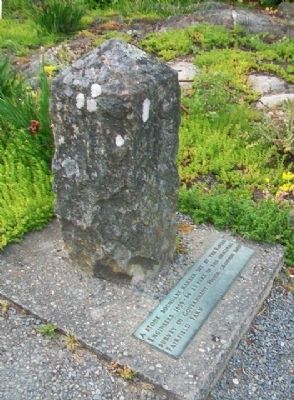
Photographed by William Fischer, Jr., May 21, 2014
2. Stone Boundary Marker and Marker
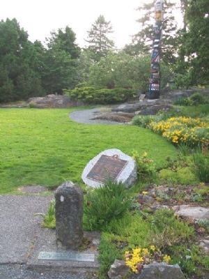
Photographed by William Fischer, Jr., May 21, 2014
3. Stone Boundary Marker and Marker
Credits. This page was last revised on February 16, 2023. It was originally submitted on July 2, 2014, by William Fischer, Jr. of Reynoldsburg, Ohio. This page has been viewed 718 times since then and 22 times this year. Photos: 1, 2, 3. submitted on July 2, 2014, by William Fischer, Jr. of Reynoldsburg, Ohio.
