Doswell in Hanover County, Virginia — The American South (Mid-Atlantic)
Ledlie's Legacy
May 24, 1864
— Blue Trail —
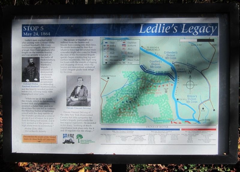
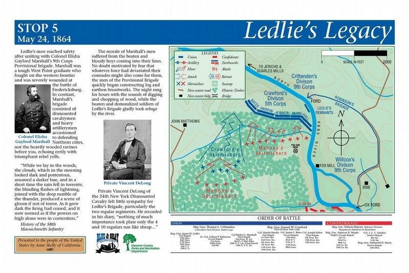
“While we lay in the woods, the clouds, which in the morning looked dark and portentous, assumed a darker hue, and in a short time the rain fell in torrents; the blinding flashes of lightning, joined with the deep rumble of the thunder, produced a scene of gloom if not of terror. As it grew dark the firing had ceased, and it now seemed as if the powers on high alone were in contention."
History of the 58th Massachusetts Infantry
The morale of Marshall's men suffered from the beaten and bloody boys coming into their lines. No doubt motivated by fear that whatever force had devastated their comrades might also come for them, the men of the Provisional Brigade quickly began constructing log and earthen breastworks. The night rang for hours with the sounds of digging and chopping of wood, while the beaten and demoralized soldiers of Ledlie’s Brigade gladly took refuge by the river.
Private Vincent DeLong of the 24th New York Dismounted Cavalry felt little sympathy for Ledlie’s Brigade, particularly the two regular regiments. He recorded in his diary, “nothing of much importance took plase only the 4 and 10 regulars run like sheap…”
(captions)
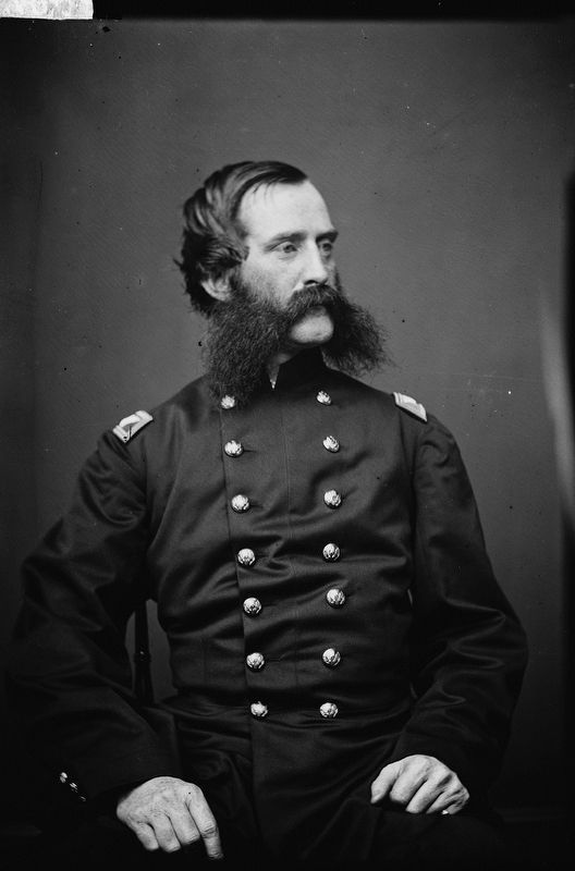
(left) Colonel Elisha Gaylord Marshall
(center) Private Vincent DeLong
Presented to the people of the United States by Anne Skelly of California.
Erected 2014 by Blue & Gray Education Society, Hanover County Parks and Recreation Department. (Marker Number Stop 5.)
Topics. This historical marker is listed in this topic list: War, US Civil. A significant historical date for this entry is May 24, 1864.
Location. 37° 53.608′ N, 77° 29.656′ W. Marker is in Doswell, Virginia, in Hanover County. Marker can be reached from Verdon Road (Virginia Route 684) 0.2 miles west of New Market Mill Road (Virginia Route 685), on the right when traveling west. Located along the "Blue Trail” in North Anna Battlefield Park. Touch for map. Marker is at or near this postal address: 11576 Verdon Rd, Doswell VA 23047, United States of America. Touch for directions.
Other nearby markers. At least 8 other markers are within walking distance of this marker. River War (within shouting distance of this marker); A Night of Agony (about 300 feet away, measured in a direct line); Reinforcements Arrive (about 600 feet away); Death Under The Trees (approx. 0.2 miles away); Deadly Skirmishing (approx. 0.2 miles away); Dig and Dig Some More (approx. ¼ mile away); Stalemate (approx. ¼ mile away); Griffin's Artillery (approx. ¼ mile away). Touch for a list and map of all markers in Doswell.
Related markers. Click here for a list of markers that are related to this marker. North Anna Battlefield Park "Blue Trail" Markers
Also see . . .
1. North Anna Battlefield Park. Hanover County Parks & Recreation (Submitted on July 3, 2014.)
2. The Battle of North Anna. Fredericksburg & Spotsylvania National Military Park (Submitted on February 25, 2020.)
3. North Anna. American Battlefield Trust (Submitted on February 25, 2020.)
4. North Anna Battlefield Park Sign Project. Blue & Gray Education Society (Submitted on February 26, 2020.)
Credits. This page was last revised on February 26, 2020. It was originally submitted on July 3, 2014, by Bernard Fisher of Richmond, Virginia. This page has been viewed 561 times since then and 12 times this year. Photos: 1. submitted on February 24, 2020, by Bernard Fisher of Richmond, Virginia. 2. submitted on February 26, 2020. 3. submitted on October 27, 2014, by Bernard Fisher of Richmond, Virginia. 4. submitted on February 25, 2020, by Bernard Fisher of Richmond, Virginia.


