Clarence in Erie County, New York — The American Northeast (Mid-Atlantic)
Harris Hill
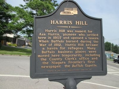
Photographed by Anton Schwarzmueller, June 17, 2014
1. Harris Hill Marker
Erected 1971 by Eire County Sesquicentennial Committee.
Topics. This historical marker is listed in these topic lists: Settlements & Settlers • War of 1812. A significant historical year for this entry is 1807.
Location. 42° 57.895′ N, 78° 40.577′ W. Marker is in Clarence, New York, in Erie County. It is on Main Street (New York State Route 5) near Nottingham Terrace, on the right when traveling east. Marker is very close to the intersection of Harris Hill Road and Main Street. It is visible from Main Street but set back behind a driveway parallel to Main Street. Touch for map. Marker is in this post office area: Buffalo NY 14221, United States of America. Touch for directions.

Regionally, this marker is in Upstate New York, specifically
this page online
Other nearby markers. At least 8 other markers are within 4 miles of this marker, measured as the crow flies: Garrison Cemetery (approx. 3 miles away); War of 1812 - 150 yrs - 1962 (approx. 3 miles away); War of 1812 Cemetery (approx. 3 miles away); Hull House (approx. 3 miles away); U. S. Barracks 1812 (approx. 3.1 miles away); Williamsville Christian Church (approx. 3.3 miles away); Williamsville Water Mill (approx. 3½ miles away); 1840 Old Stone School House (approx. 3.6 miles away).
Also see . . . Harris Hill - Wikipedia. (Submitted on July 4, 2014, by Anton Schwarzmueller of Wilson, New York.)
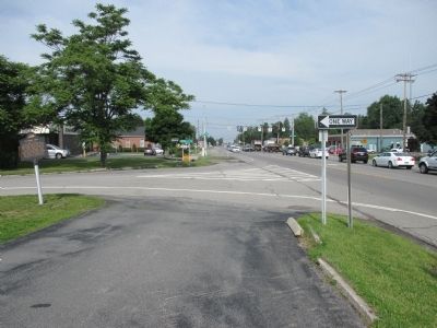
Photographed by Anton Schwarzmueller, June 17, 2014
2. Westward View Harris Hill Marker
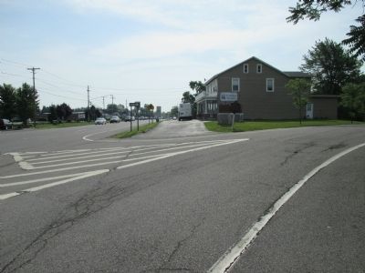
Photographed by Anton Schwarzmueller, June 17, 2014
3. Eastward View Harris Hill Marker
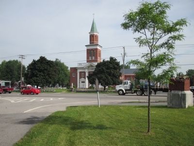
Photographed by Anton Schwarzmueller, June 17, 2014
4. Harris Hill Marker, Main Street in Background
Credits. This page was last revised on June 16, 2016. It was originally submitted on July 4, 2014, by Anton Schwarzmueller of Wilson, New York. This page has been viewed 2,003 times since then and 129 times this year. Photos: 1, 2, 3, 4. submitted on July 4, 2014, by Anton Schwarzmueller of Wilson, New York. • Bill Pfingsten was the editor who published this page.
