
Kingston in Meeker County, Minnesota — The American Midwest (Upper Plains)
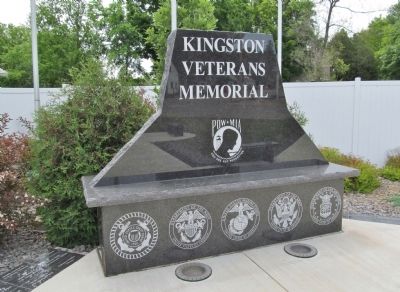
Kingston Veterans Memorial
Photographed by K. Linzmeier, June 13, 2014
1. Kingston Veterans Memorial
(Military Service Emblems)
Erected 2011 by Kingston area residents.
Topics. This memorial is listed in this topic list: Military.
Location. 45° 11.817′ N, 94° 18.808′ W. Memorial is in Kingston, Minnesota, in Meeker County. It is at the intersection of County Highway 27 and 722nd Avenue (County Highway 19), on the right when traveling east on County Highway 27. Touch for map. Memorial is in this post office area: Dassel MN 55325, United States of America. Touch for directions.

Regionally, this memorial is in Central Minnesota and specifically in Southwest Minnesota. It is also in the American Midwest and in the Corn Belt. Globally, it is in North America, the Western Hemisphere, the Western World, and the Anglosphere. Historically, it finds itself in what was once Rupert’s Land, the territory of the Mississippian Culture, and the Louisiana Purchase.
Other nearby markers. At least 8 other markers are within 11 miles of this marker, measured as the crow flies: Site of Forest City Stockade
this page online
Also see . . . Kingston memorial honors area veterans. (Submitted on July 4, 2014.)
Photographed by K. Linzmeier, June 13, 2014
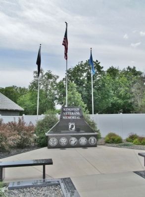
2. Kingston Veterans Memorial
Photographed by K. Linzmeier, June 13, 2014
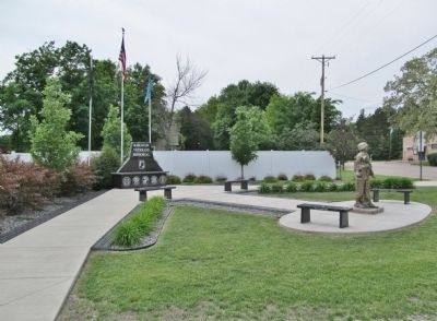
3. Kingston Veterans Memorial
Photographed by K. Linzmeier, June 13, 2014
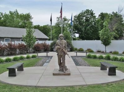
4. Soldier and Benches in Center Walkway
Credits. This page was last revised on June 7, 2021. It was originally submitted on July 4, 2014, by Keith L of Wisconsin Rapids, Wisconsin. This page has been viewed 723 times since then and 18 times this year. Photos: 1, 2, 3, 4. submitted on July 4, 2014, by Keith L of Wisconsin Rapids, Wisconsin.
