Spring Hill in Maury County, Tennessee — The American South (East South Central)
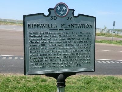
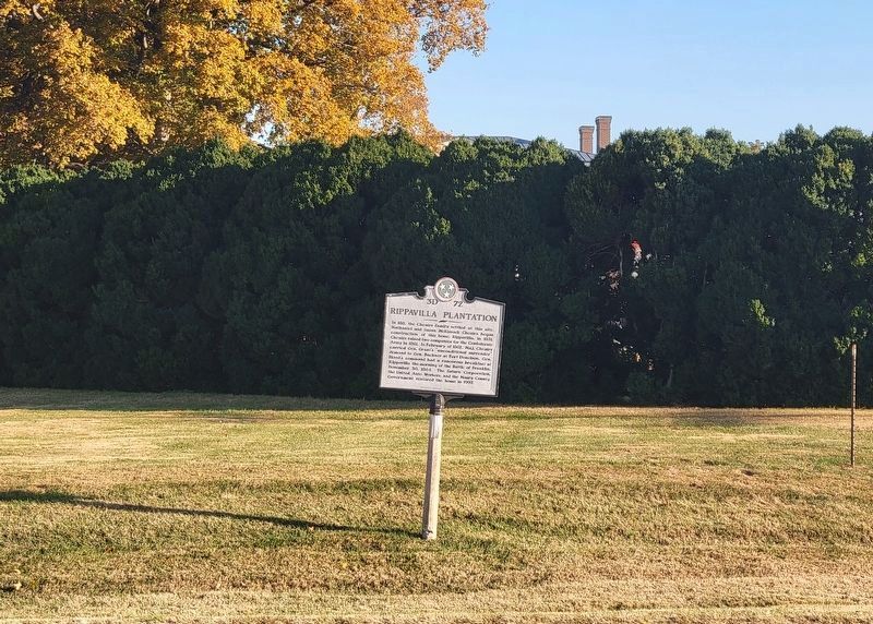
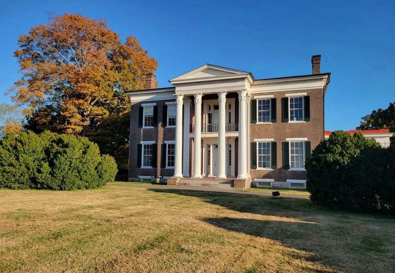
Rippavilla Plantation
Erected by Tennessee Historical Commission. (Marker Number 3D 72.)
Topics. This historical marker is listed in these topic lists: Settlements & Settlers • War, US Civil. A significant historical month for this entry is February 1862.
Location. 35° 43.967′ N, 86° 57.285′ W. Marker is in Spring Hill, Tennessee, in Maury County. Marker is at the intersection of Main Street (U.S. 31) and Northfield Lane, on the right when traveling north on Main Street. Touch for map. Marker is at or near this postal address: 5700 Main Street, Spring Hill TN 37174, United States of America. Touch for directions.
Other nearby markers. At least 8 other markers are within walking distance of this marker. Rippa Villa (about 500 feet away, measured in a direct line); a different marker also named Rippa Villa (about 500 feet away); The Battle of Spring Hill (about 600 feet away); Slave Fields To Battlegrounds (about 600 feet away); a different marker also named The Battle of Spring Hill (approx. ¼ mile away); a different marker also named The Battle of Spring Hill (approx. 0.3 miles away); Billy Direct (approx. 0.6 miles away); Hood's Command Post (approx. 0.9 miles away). Touch for a list and map of all markers in Spring Hill.
Credits. This page was last revised on October 23, 2022. It was originally submitted on July 4, 2014, by Don Morfe of Baltimore, Maryland. This page has been viewed 962 times since then and 44 times this year. Photos: 1. submitted on July 4, 2014, by Don Morfe of Baltimore, Maryland. 2. submitted on October 23, 2022, by Bradley Owen of Morgantown, West Virginia. 3. submitted on July 4, 2014, by Don Morfe of Baltimore, Maryland. 4. submitted on October 23, 2022, by Bradley Owen of Morgantown, West Virginia. 5. submitted on July 4, 2014, by Don Morfe of Baltimore, Maryland. • Bernard Fisher was the editor who published this page.


