Pulaski in Giles County, Tennessee — The American South (East South Central)
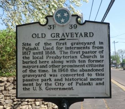
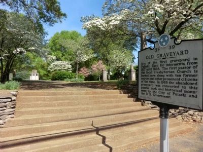
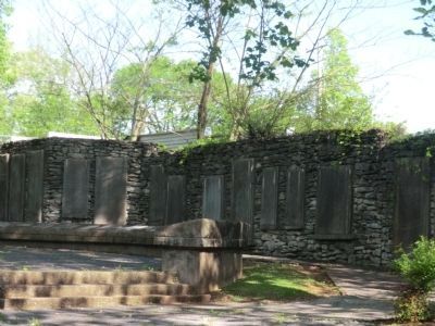
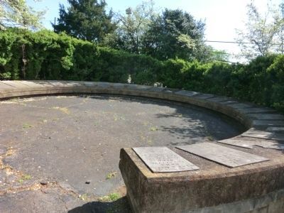
Old Graveyard
Erected by Tennessee Historical Commission. (Marker Number 3F 39.)
Topics and series. This historical marker is listed in these topic lists: Cemeteries & Burial Sites • Settlements & Settlers. In addition, it is included in the Tennessee Historical Commission series list. A significant historical year for this entry is 1817.
Location. 35° 11.55′ N, 87° 2.052′ W. Marker is in Pulaski, Tennessee, in Giles County. Marker is at the intersection of South 1st Street (US 31/SR7) and West Cemetery Street on South 1st Street (US 31/SR7). Touch for map. Marker is in this post office area: Pulaski TN 38478, United States of America. Touch for directions.
Other nearby markers. At least 8 other markers are within walking distance of this marker. Joe R. McClure (about 700 feet away, measured in a direct line); The Bridge (about 800 feet away); Maplewood Cemetery (approx. 0.3 miles away); Thomas Martin (1799-1870) (approx. 0.3 miles away); Thomas McKissack Jones (approx. 0.3 miles away); Aaron V. Brown (approx. 0.3 miles away); Neill Smith Brown (approx. 0.3 miles away); General John Calvin Brown (approx. 0.3 miles away). Touch for a list and map of all markers in Pulaski.
Credits. This page was last revised on January 20, 2020. It was originally submitted on July 7, 2014, by Don Morfe of Baltimore, Maryland. This page has been viewed 540 times since then and 41 times this year. Photos: 1, 2, 3, 4. submitted on July 7, 2014, by Don Morfe of Baltimore, Maryland. • Bill Pfingsten was the editor who published this page.


