Dunham in Brome-Missisquoi, Québec — Central Canada (French-Canadian)
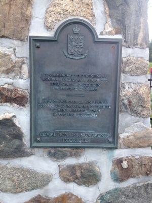
First Women's Institute
French text
Erected by Commission des Monuments Historiques.
Topics. This historical marker is listed in this topic list: Education. A significant historical date for this entry is January 27, 1911.
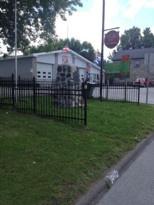
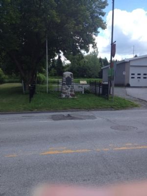
Location. 45° 7.928′ N, 72° 48.02′ W. Marker is in Dunham, Québec, in Brome-Missisquoi. Marker is on Rue Principale (Québec Route 202) 0.2 kilometers north of Québec Route 213, on the right when traveling north. Marker is located adjacent the Dunham Volunteer Fire Department. Touch for map. Marker is at or near this postal address: 3745 Rue Principale, Dunham QC J0E 1M0, Canada. Touch for directions.
Other nearby markers. At least 3 other markers are within 16 kilometers of this marker, measured as the crow flies. In honour of Capt. Caleb Tree (approx. 9.3 kilometers away); Grange Alexander-Solomon-Walbridge (approx. 14.8 kilometers away); Battle of Eccles Hill (approx. 15 kilometers away).
More about this marker. Marker is located in Dunham on the "Route des vins" (The Wine Route), home to over a dozen vineyards.
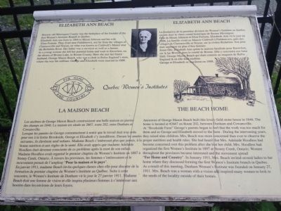
Additional keywords. Elizabeth Ann Beach; The Beach Home
Credits. This page was last revised on January 23, 2022. It was originally submitted on June 26, 2014, by Kevin Craft of Bedford, Quebec. This page has been viewed 452 times since then and 19 times this year. Last updated on July 7, 2014, by Kevin Craft of Bedford, Quebec. Photos: 1, 2, 3, 4. submitted on June 26, 2014, by Kevin Craft of Bedford, Quebec. • Bill Pfingsten was the editor who published this page.


