Mount Pleasant in Sanpete County, Utah — The American Mountains (Southwest)
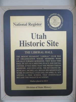
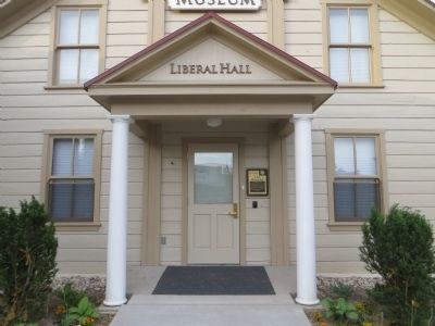
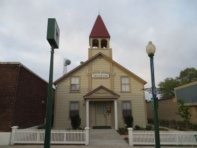
The Liberal Hall
Erected 2003 by Division of State History.
Topics. This historical marker is listed in this topic list: Fraternal or Sororal Organizations. A significant historical month for this entry is April 1854.
Location. 39° 32.794′ N, 111° 27.398′ W. Marker is in Mount Pleasant, Utah, in Sanpete County. Marker is on West Main Street, on the left when traveling west. Touch for map. Marker is at or near this postal address: 65 West Main Street, Mount Pleasant UT 84647, United States of America. Touch for directions.
Other nearby markers. At least 8 other markers are within 6 miles of this marker, measured as the crow flies. Pioneer Monument (about 500 feet away, measured in a direct line); Mt. Pleasant Fort (about 500 feet away); Last Peace Treaty (about 700 feet away); William Stuart Seeley House (about 800 feet away); Spring City Pioneer Cemetery (approx. 4.9 miles away); Behunin-Beck House (approx. 5.1 miles away); Spring City (approx. 5.1 miles away); City Hall (approx. 5.1 miles away). Touch for a list and map of all markers in Mount Pleasant.
Credits. This page was last revised on June 16, 2016. It was originally submitted on July 7, 2014, by Bill Kirchner of Tucson, Arizona. This page has been viewed 385 times since then and 16 times this year. Photos: 1, 2, 3. submitted on July 7, 2014, by Bill Kirchner of Tucson, Arizona. • J. J. Prats was the editor who published this page.


