Fayetteville in Lincoln County, Tennessee — The American South (East South Central)
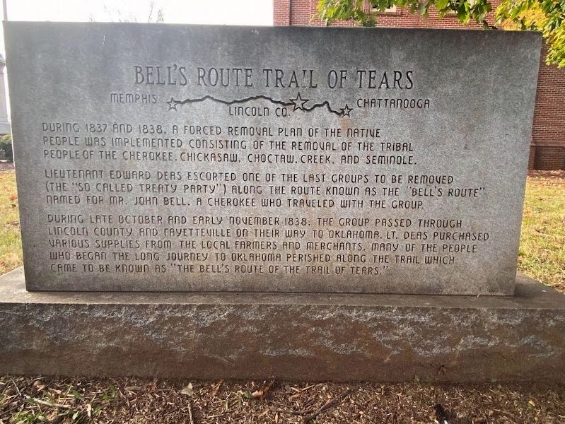
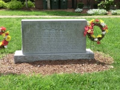
Bell's Route Trail of Tears
Memphis-Lincoln Co.-Chattanooga
During 1837 and 1838, a forced removal plan of the native people was implemented consisting of the removal of the tribal people of Cherokee, Chickasaw, Choctaw, Creek, and Seminole.
Lieutenant Edward Deas, escorted one of the last groups to be removed (the “so called treaty party”) along the route known as the “Bell’s Route” named for Mr. John Bell a Cherokee who traveled with the group.
During the late October and early November 1838, the group passed through Lincoln County and Fayetteville on their way to Oklahoma. Lt. Deas purchased various supplies from the local farmers and merchants. Many of the people who began the long journey to Oklahoma perished along the trail which came to be known as “The Bell’s Route of the Trail of Tears.”
Topics and series. This historical marker is listed in this topic list: Native Americans. In addition, it is included in the Trail of Tears series list. A significant historical year for this entry is 1837.
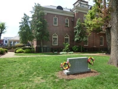
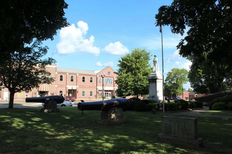
Location. 35° 9.068′ N, 86° 34.145′ W. Marker is in Fayetteville, Tennessee, in Lincoln County. Marker is on Elk Avenue South. The marker is on the grounds of the Lincoln County Courthouse. Touch for map. Marker is in this post office area: Fayetteville TN 37334, United States of America. Touch for directions.
Other nearby markers. At least 8 other markers are within walking distance of this marker. Confederate Park (within shouting distance of this marker); Confederate Park Cannon (within shouting distance of this marker); Lincoln County in the Civil War (within shouting distance of this marker); Robert E. Lee School and The James Moores Home (within shouting distance of this marker); Horse Mounting Stones (within shouting distance of this marker); Martyred (about 300 feet away, measured in a direct line); Confederate Soldiers (about 300 feet away); In Memory of James Taylor Crawford (about 400 feet away). Touch for a list and map of all markers in Fayetteville.
Credits. This page was last revised on January 30, 2023. It was originally submitted on July 9, 2014, by Don Morfe of Baltimore, Maryland. This page has been viewed 1,556 times since then and 130 times this year. Photos: 1. submitted on January 28, 2023, by Darren Jefferson Clay of Duluth, Georgia. 2, 3, 4. submitted on July 9, 2014, by Don Morfe of Baltimore, Maryland. 5. submitted on August 18, 2020, by Tom Bosse of Jefferson City, Tennessee. • Bill Pfingsten was the editor who published this page.
