Elberta in Utah County, Utah — The American Mountains (Southwest)
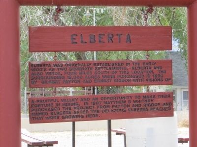
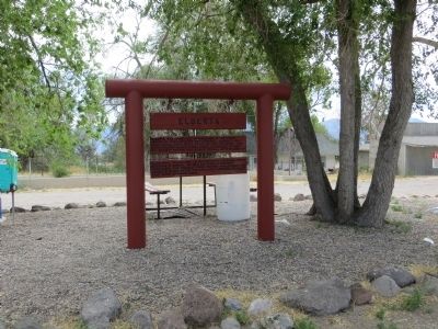
Elberta
Topics and series. This historical marker is listed in this topic list: Settlements & Settlers. In addition, it is included in the Daughters of Utah Pioneers series list. A significant historical year for this entry is 1892.
Location. 39° 57.147′ N, 111° 57.366′ W. Marker is in Elberta, Utah, in Utah County. Marker is on Utah Route 68 north of U.S. 6, on the right when traveling north. Touch for map. Marker is in this post office area: Elberta UT 84626, United States of America. Touch for directions.
Other nearby markers. At least 8 other markers are within 9 miles of this marker, measured as the crow flies. Original Goshen Pioneer Cemetery (approx. 0.9 miles away); Goshen's Historic Grist Mill Stone (approx. 2.9 miles away); Tintic Mining District (approx. 8.1 miles away); “Old” L.D.S. Church Meetinghouse (approx. 8.6 miles away); Eureka United Methodist Church (approx. 8.6 miles away); Eureka Post Office (approx. 8.7 miles away); Union Pacific Railroad Depot (approx. 8.7 miles away); Eureka City Hall (approx. 8.7 miles away).
Credits. This page was last revised on June 16, 2016. It was originally submitted on July 13, 2014, by Bill Kirchner of Tucson, Arizona. This page has been viewed 426 times since then and 13 times this year. Photos: 1, 2. submitted on July 13, 2014, by Bill Kirchner of Tucson, Arizona. • Syd Whittle was the editor who published this page.

