Near Little Falls in Herkimer County, New York — The American Northeast (Mid-Atlantic)
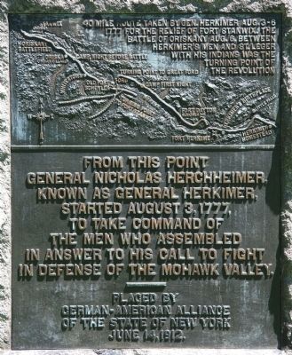
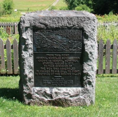
From This Point
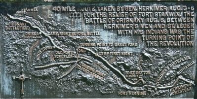
— 40 mile route taken by Gen. Herkimer Aug. 3-6, 1777 —
General Nicholas Herkimer,
known as General Herkimer,
started August 3, 1777,
to take command of
the men who assembled
in answer to his call to fight
in defense of the Mohawk Valley.
Erected 1912 by German-American Alliance of the State of New York. (Marker Number 1.)
Topics and series. This memorial is listed in these topic lists: Patriots & Patriotism • Settlements & Settlers • War, US Revolutionary. In addition, it is included in the General Herkimer's 40 Mile March series list. A significant historical year for this entry is 1777.
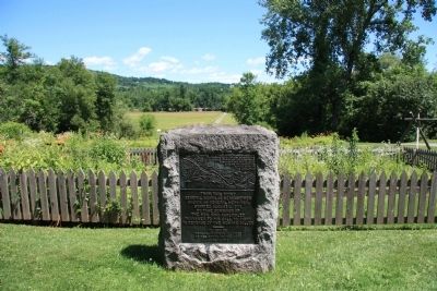
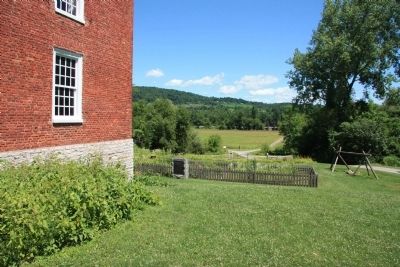
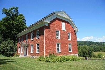
Location. 43° 1.678′ N, 74° 48.95′ W. Marker is near Little Falls, New York, in Herkimer County. Memorial can be reached from State Route 169 (New York State Route 169) east of General Herkimer Road. This historical marker is located on the grounds of the Herkimer Home State Historic Site, directly behind the northeast corner of the Herkimer house. Touch for map. Marker is at or near this postal address: 200 State Route 169, Little Falls NY 13365, United States of America. Touch for directions.
Other nearby markers. At least 8 other markers are within walking distance of this marker. General Nicholas Herkimer's Mansion (a few steps from this marker); The Bateau (within shouting distance of this marker); The Palatines (about 300 feet away, measured in a direct line); Herkimer Homestead Cemetery (about 300 feet away); In Memory of the Men (about 300 feet away); General Nicholas Herkimer Monument (about 400 feet away); General Nicholas Herkimer (about 400 feet away); Nicholas Herkimer (about 400 feet away). Touch for a list and map of all markers in Little Falls.
Regarding From This Point. This historical marker is part of a series of historical markers that mark the 40 mile route taken by Gen. Herkimer Aug. 3-6, 1777 for the relief of Fort Stanwix, that resulted in the Battle of Oriskany. Some historians believe that this battle, fought between Herkimer's Patriots with his Oneida allies and St. Leger's Loyalists with their Indian allies, was the turning point of the Revolutionary War.
Related markers. Click here for a list of markers that are related to this marker. To better understand the relationship, study each marker in the order shown.
Credits. This page was last revised on June 16, 2016. It was originally submitted on July 14, 2014, by Dale K. Benington of Toledo, Ohio. This page has been viewed 515 times since then and 12 times this year. Photos: 1, 2, 3, 4, 5, 6. submitted on July 14, 2014, by Dale K. Benington of Toledo, Ohio.
