
Tellico Plains in Monroe County, Tennessee — The American South (East South Central)
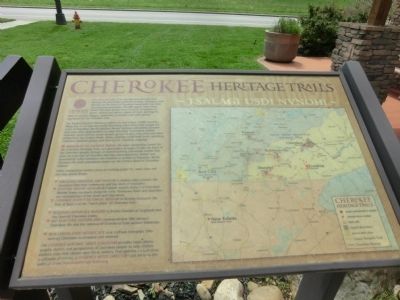
Cherokee Heritage Trails
Tsalagi Usdi Nvnohi
Photographed by Don Morfe, April 25, 2014
1. Cherokee Heritage Trails Marker
The Eastern Band of Cherokee Indians has more than 13,000 members. Many live on or near the Qualls Boundary, tribal lands that include the town of Cherokee, North Carolina. Annual festivals and events at some trail sites offer opportunities to meet Cherokee storytellers, basket weavers, stone carvers, wood carvers, gospel singers musicians and other artists from the Eastern Band. Enjoy sampling traditional foods, watching Cherokee stickball games, and hearing the Cherokee language.
Museum of the Cherokee Indian, the main interpretive center for the Cherokee Heritage Trails, is a good place to begin. It tells the story of the Cherokee people through an award winning interactive exhibit that gives an overview of
this page online
Other interpretive centers serve as starting points for many sites and one day scenic drives.
In North Carolina
• Junaluska Memorial and Museum in Robinsonville presents the Snowbird Cherokee community and the story of Junaluska.
• Scottish Tartans Museum in Franklin orients visitors to Cherokee Middle Towns locations along the Little Tennessee River and describes the relationships of the Scots and Cherokees.
• Cherokee County Historical Museum in Murphy interprets the Trail of Tears and the “leech place” of Cherokee lore.
In Tennessee
• Sequoyah Birthplace Museum in Vonore focuses on Sequoyah and the Overhill Cherokee towns.
• Red Clay State Historic Area commemorates 19th century Cherokee life and the removal of Cherokees from eastern Tennessee.
In Georgia
• New Echota State Historic Site near Calhoun interprets 19th century Cherokee renaissance and removal.
The Cherokee Heritage Trails Guidebook provides
Photographed by Don Morfe, April 25, 2014
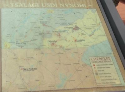
2. Close up of map shown on the marker
Erected by Cherokee Heritage Trails.
Topics. This historical marker is listed in this topic list: Indigenous Peoples and Communities.
Location. 35° 22.009′ N, 84° 17.837′ W. Marker is in Tellico Plains, Tennessee, in Monroe County. It is at the intersection of Cherohala Skyway (Bypass Route 165) and Herford Street, on the left when traveling west on Cherohala Skyway. The marker is on the grounds of the Cherohala Skyway Visitor Center. Touch for map. Marker is at or near this postal address: 225 Cherohola Skyway, Tellico Plains TN 37385, United States of America. Touch for directions.

Regionally, this marker is in East Tennessee. It is also in the American South, specifically in the Upper South, in Appalachia, and specifically in Southern Appalachia. Globally, it is in North America, the Western Hemisphere, the
Photographed by Don Morfe, April 25, 2014
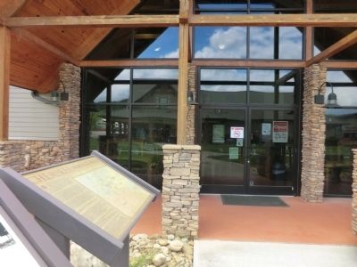
3. Cherokee Heritage Trails Marker
Other nearby markers. At least 8 other markers are within walking distance of this marker: Logging in the Tellico Plains Area (here, next to this marker); Tellico Iron Works (here, next to this marker); Tellico Tales: Charles Hall Museum / Stokley Bottoms (a few steps from this marker); Uncle Josh Graves (within shouting distance of this marker); Unicoi Turnpike Trail (within shouting distance of this marker); The Tennessee Overhill Experience (about 700 feet away, measured in a direct line); Fort Loudoun Massacre (about 700 feet away); Boyhood Home of Ray H. Jenkins (about 700 feet away). Touch for a list and map of all markers in Tellico Plains.
Photographed by Tom Bosse, November 22, 2024
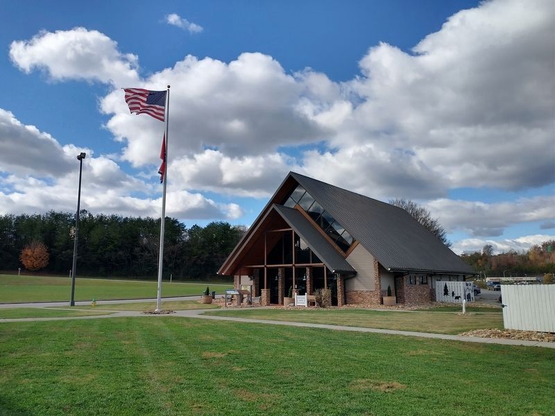
4. Cherokee Heritage Trails Marker
Credits. This page was last revised on November 27, 2024. It was originally submitted on July 16, 2014, by Don Morfe of Baltimore, Maryland. This page has been viewed 974 times since then and 30 times this year. Photos: 1, 2, 3. submitted on July 16, 2014, by Don Morfe of Baltimore, Maryland. 4. submitted on November 27, 2024, by Tom Bosse of Jefferson City, Tennessee. • Bernard Fisher was the editor who published this page.
