Eau Claire in Eau Claire County, Wisconsin — The American Midwest (Great Lakes)
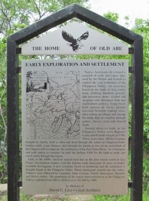
Early Exploration and Settlement
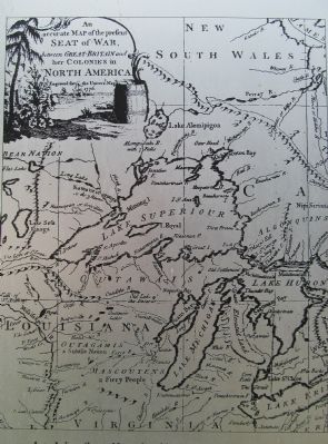
Native Americans developed a network of trails and routes later used by the British and French to explore the vast wilderness of the Chippewa Valley. An economy based on the trade of furs, tools, food, clothing, blankets, jewelry and decorative items, alcohol and weapons soon developed from this exploration activity. Using birch bark canoes or trails, people traveled between trading sites, often setting up villages and staying for many days to socialize through games, dance, song and shared meals.
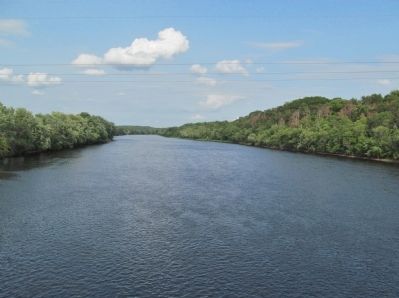
Among those to trade in the Chippewa Valley were Baptiste Leduc and Penasha Gegare in 1784. Three years later, Michel Cadotte brought his family, built a cabin and lived through the winter in Chippewa Falls. Further south, Louis Demarie also brought his family to live on the west bank of the Chippewa River opposite the confluence of the Eau Claire River. As a foreigner and with family to consider, he paid the Indians $300 for the right to trade and travel safely through the region.
Early in the 1800s, interests turned from furs to the pine forests north of Eau Claire. Government treaties with the Indians made thousands of acres of timber available for logging. A new economy based on lumbering and the settlement it brought began in the Chippewa Valley. White immigrants poured into the valley. Yankees were followed by Canadian, Irish, German, Polish, Norwegian, Swedish and Slavic settlers. The population of the region (then referred to as the Chippewa Valley) exploded from 600 in 1850 to over 187,000 by 1900.
David C. Lien • Local Architect
Erected by the City of Eau Claire Landmark Commission. (Marker Number 1.)
Topics. This historical marker is listed in these topic lists: Exploration • Native Americans • Settlements & Settlers. A significant historical year for this entry is 1784.
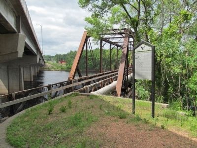
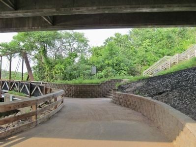
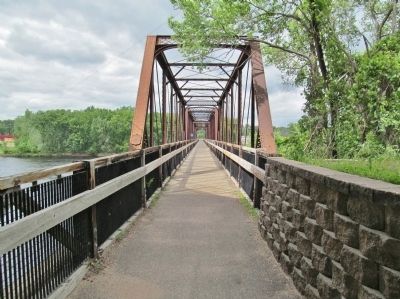
Location. 44° 47.785′ N, 91° 31.535′ W. Marker is in Eau Claire, Wisconsin, in Eau Claire County. Marker can be reached from North Frontage Road, 0.4 miles north of Craig Road, on the left when traveling north. Marker is along the Chippewa River Trail below the westbound U.S. 12 bridge. Touch for map. Marker is at or near this postal address: 1324 West Clairemont Avenue, Eau Claire WI 54701, United States of America. Touch for directions.
Other nearby markers. At least 8 other markers are within walking distance of this marker. Daniel Shaw Lumber Company (about 700 feet away, measured in a direct line); The River Did Its Part (approx. 0.4 miles away); Kaiser Lumber Company Office (approx. 0.4 miles away); Industry on Half Moon Lake (approx. 0.7 miles away); Carson Park (approx. 0.7 miles away); 2719 (approx. ¾ mile away); Ottawa House (approx. 0.8 miles away); Henry Aaron / Eau Claire Baseball (approx. 0.8 miles away). Touch for a list and map of all markers in Eau Claire.
Also see . . . History of the Chippewa Valley. Wisconsin Historical Society. (Submitted on July 20, 2014.)
Credits. This page was last revised on June 16, 2016. It was originally submitted on July 20, 2014, by Keith L of Wisconsin Rapids, Wisconsin. This page has been viewed 613 times since then and 97 times this year. Photos: 1, 2, 3, 4, 5, 6, 7. submitted on July 20, 2014, by Keith L of Wisconsin Rapids, Wisconsin.
