Mountainair in Torrance County, New Mexico — The American Mountains (Southwest)
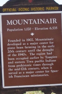
Mountainair
Population 1,170 - Elevation 6,535
Topics. This historical marker is listed in these topic lists: Native Americans • Settlements & Settlers. A significant historical year for this entry is 1902.
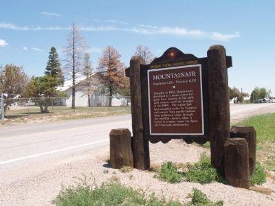
Location. 34° 30.914′ N, 106° 15.016′ W. Marker is in Mountainair, New Mexico, in Torrance County. Marker is at the intersection of State Road 60, on the right when traveling east on State Road 60. Touch for map. Marker is in this post office area: Mountainair NM 87036, United States of America. Touch for directions.
Other nearby markers. At least 8 other markers are within 9 miles of this marker, measured as the crow flies. Salt Mission Trail (a few steps from this marker); Shaffer Hotel (approx. 0.6 miles away); Willard Mercantile Company (approx. 0.7 miles away); a different marker also named Mountainair (approx. one mile away); Quarai Ruins (approx. 6.2 miles away); Crossroads/El cruce (approx. 8.4 miles away); Abo Ruins (approx. 8.4 miles away); Fred Sisneros' Grave/Don Federico (approx. 8.4 miles away). Touch for a list and map of all markers in Mountainair.
Credits. This page was last revised on June 16, 2016. It was originally submitted on July 20, 2014, by Maribeth Robison of Moriarty, New Mexico. This page has been viewed 442 times since then and 19 times this year. Photos: 1, 2. submitted on July 20, 2014, by Maribeth Robison of Moriarty, New Mexico. • Syd Whittle was the editor who published this page.

