Kanosh in Millard County, Utah — The American Mountains (Southwest)
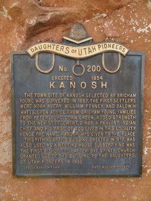
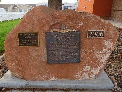
Kanosh
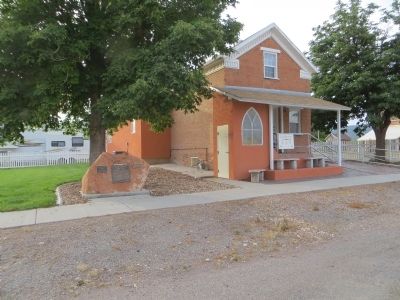
This tithing office building, erected in 1870, was also used as a meetinghouse. Culbert King was the first bishop. The Latter-day Saints Church granted use of the building to the Daughters of Utah Pioneers in 1952.
Erected 1954 by Sally Kanosh Camp, Daughters of Utah Pioneers. (Marker Number 200.)
Topics and series. This historical marker is listed in this topic list: Settlements & Settlers. In addition, it is included in the Daughters of Utah Pioneers series list. A significant historical year for this entry is 1867.
Location. 38° 48.131′ N, 112° 26.248′ W. Marker is in Kanosh, Utah, in Millard County. Marker is on North Main Street south of 100 North Street, on the left when traveling south. Touch for map. Marker is in this post office area: Kanosh UT 84637, United States of America. Touch for directions.
Other nearby markers. At least 8 other markers are within 13 miles of this marker, measured as the crow flies. 1867 Chief Kanosh Memorial 1976 (within shouting distance of this marker); Taysom Cabin (approx. 5.7 miles away); Settlement of Meadow (approx. 6 miles away); Chief Walkara (approx. 6.4 miles away); Little Rock Schoolhouse (approx. 12.9 miles away); Edward Partridge, Jr. House (approx. 12.9 miles away); Land of the Yuta (approx. 12.9 miles away); Utah’s First Capitol (approx. 12.9 miles away).
Credits. This page was last revised on June 16, 2016. It was originally submitted on July 20, 2014, by Bill Kirchner of Tucson, Arizona. This page has been viewed 541 times since then and 30 times this year. Photos: 1, 2, 3. submitted on July 20, 2014, by Bill Kirchner of Tucson, Arizona. • Syd Whittle was the editor who published this page.


