Beaver in Beaver County, Utah — The American Mountains (Southwest)
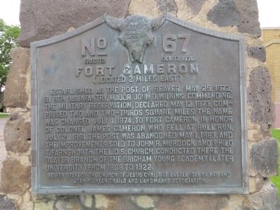
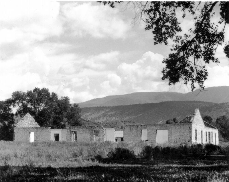
Fort Cameron
(Located 2 miles east)
Erected 1936 by Beaver Stake of the Church of Jesus Christ of Latter-Day Saints and Utah Pioneer Trails and Landmarks Association. (Marker Number 67.)
Topics and series. This historical marker is listed in this topic list: Forts and Castles. In addition, it is included in the Utah Pioneer Trails and Landmarks Association series list. A significant historical date for this entry is May 15, 1877.
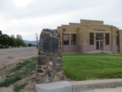
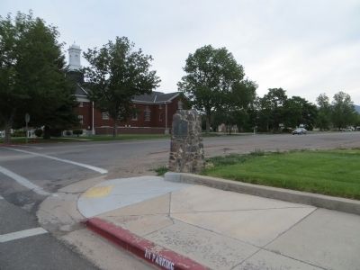
Location. 38° 16.605′ N, 112° 38.462′ W. Marker is in Beaver, Utah, in Beaver County. Marker is at the intersection of North Main Street and 200 North Street, on the right when traveling north on North Main Street. Marker is on the southeast corner. Touch for map. Marker is in this post office area: Beaver UT 84713, United States of America. Touch for directions.
Other nearby markers. At least 8 other markers are within walking distance of this marker. Beaver Relief Society Hall (approx. 0.2 miles away); Beaver Opera House (approx. 0.2 miles away); Philo T. Farnsworth (approx. 0.2 miles away); Beaver Territorial Courthouse (approx. 0.2 miles away); Early Sawed Log Farm Cabin (approx. 0.2 miles away); Beaver Stake Tabernacle (approx. ¼ mile away); Joseph Tattersall House (approx. 0.4 miles away); Pioneer Park (approx. 0.4 miles away). Touch for a list and map of all markers in Beaver.
Credits. This page was last revised on July 30, 2022. It was originally submitted on July 22, 2014, by Bill Kirchner of Tucson, Arizona. This page has been viewed 752 times since then and 26 times this year. Photos: 1. submitted on July 22, 2014, by Bill Kirchner of Tucson, Arizona. 2. submitted on July 18, 2022, by Steven Atkin of Beaver, Utah. 3, 4. submitted on July 22, 2014, by Bill Kirchner of Tucson, Arizona. • Syd Whittle was the editor who published this page.


