Near New Harmony in Washington County, Utah — The American Mountains (Southwest)
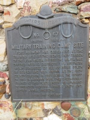
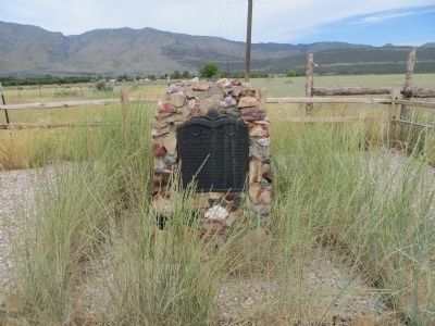
Military Training Camp Site
Erected 1940 by Fort Harmony Camp, Daughters of Utah Pioneers. (Marker Number 67.)
Topics and series. This historical marker is listed in these topic lists: Military • Wars, US Indian. In addition, it is included in the Daughters of Utah Pioneers series list. A significant historical year for this entry is 1857.
Location. 37° 28.948′ N, 113° 17.98′ W. Marker is near New Harmony, Utah, in Washington County. Marker is on Utah Route 144, 4 miles west of Interstate 15, on the right when traveling west. Touch for map. Marker is in this post office area: New Harmony UT 84757, United States of America. Touch for directions.
Other nearby markers. At least 8 other markers are within 12 miles of this marker, measured as the crow flies. New Harmony (approx. 0.6 miles away); Fort Harmony (approx. 3.1 miles away); Kolob Canyons (approx. 6.3 miles away); Collapsing Scenery (approx. 6.3 miles away); Fort Kanarra (approx. 7.4 miles away); Snowfield Monument (approx. 8.7 miles away); South Rim of the Great Basin (approx. 10 miles away); Old Irontown (approx. 11˝ miles away). Touch for a list and map of all markers in New Harmony.
Credits. This page was last revised on June 16, 2016. It was originally submitted on July 23, 2014, by Bill Kirchner of Tucson, Arizona. This page has been viewed 683 times since then and 64 times this year. Photos: 1, 2, 3, 4. submitted on July 23, 2014, by Bill Kirchner of Tucson, Arizona. • Syd Whittle was the editor who published this page.


