Montclair in Essex County, New Jersey — The American Northeast (Mid-Atlantic)
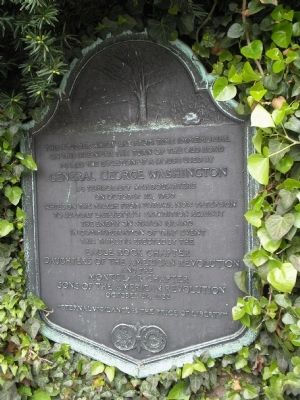
Washington’s Temporary Headquarters
on this site near the turn of the old road
marks the location of a house used by
General George Washington
as temporary headquarters
on October 26, 1780
while on march from Totowa now Paterson
to support Lafayette’s expedition against
the enemy on Staten Island.
In commemoration of that event
this tablet is erected
by the Eagle Rock Chapter
Daughters of the American Revolution
and the
Montclair Chapter
Sons of the American Revolution
October 26, 1922
“Eternal Vigilance is the price of Liberty”
Erected 1922 by Eagle Rock Chapter Daughters of the American Revolution and the Montclair Chapter Sons of the American Revolution.
Topics and series. This historical marker is listed in this topic list: War, US Revolutionary. In addition, it is included in the Daughters of the American Revolution, the Former U.S. Presidents: #01 George Washington, the George Washington Slept Here, and the Sons of the American Revolution (SAR) series lists. A significant historical month for this entry is October 1938.
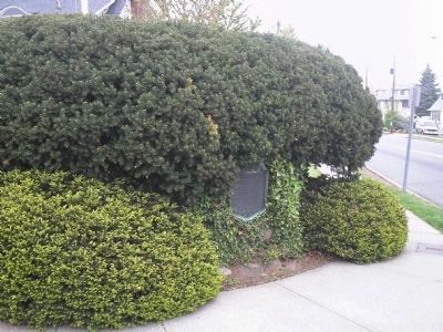
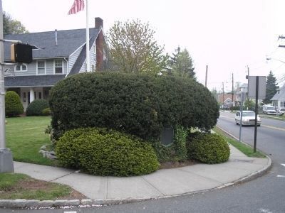
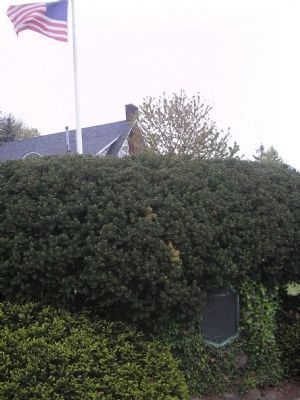
Location. 40° 49.221′ N, 74° 13.267′ W. Marker is in Montclair, New Jersey, in Essex County. Marker is at the intersection of Valley Road (County Route 621) and Claremont Avenue (County Route 654), on the right when traveling south on Valley Road. Marker is on the northwest corner of the intersection. Touch for map. Marker is in this post office area: Montclair NJ 07042, United States of America. Touch for directions.
Other nearby markers. At least 8 other markers are within walking distance of this marker. 647 Bloomfield Avenue (approx. ¼ mile away); Cranetown (approx. ¼ mile away); First Primary School (approx. 0.3 miles away); Hillside School War Memorial (approx. 0.4 miles away); 45 Church Street Plaza (approx. 0.4 miles away); 40-46 Church Street (approx. 0.4 miles away); Hampton House (approx. half a mile away); The Crane Building (approx. half a mile away). Touch for a list and map of all markers in Montclair.
Credits. This page was last revised on March 20, 2019. It was originally submitted on May 3, 2008, by Bill Coughlin of Woodland Park, New Jersey. This page has been viewed 1,793 times since then and 39 times this year. Photos: 1, 2, 3, 4. submitted on May 3, 2008, by Bill Coughlin of Woodland Park, New Jersey. • Craig Swain was the editor who published this page.


