Near Burlington in Alamance County, North Carolina — The American South (South Atlantic)
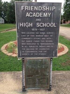
Friendship Academy and High School
1879 - 1927
Was located 150 yards north-east of this marker. Built by community effort and without public funds. This school was dedicated to thoroughness in all subjects taught, and to the building of character as fundamental for the growth of the student.
1908-1928
in honor and memory of all the principals
S.T. Stancel • B. Patterson
Philip E. Shaw • E.J. Perry
Junius A. Hornaday • Frank R. Yarborough
Charles Shuler • D.I. Offman
Harden F. Taylor • D.H. Dofflemyer
Marvin C. Terrell • Jerry H. Bason
Meade Hart • Raymond C. Keck
Presented by Friendship Alumni Association
1950
Erected 1950 by Friendship Alumni Association.
Topics. This historical marker is listed in this topic list: Education. A significant historical year for this entry is 1950.
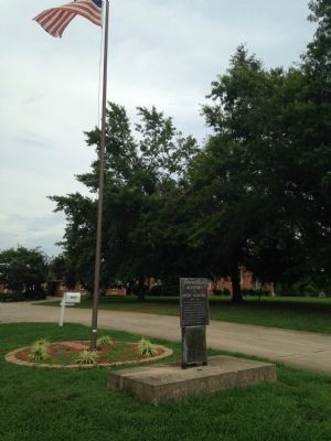
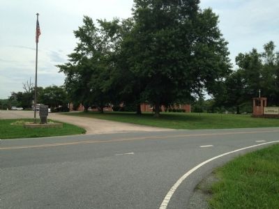
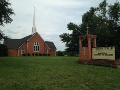
Location. 35° 59.392′ N, 79° 28.123′ W. Marker is near Burlington, North Carolina, in Alamance County. Marker is at the intersection of Friendship-Patterson Mill Rd. and Friendship Rock Creek Road, on the right when traveling west on Friendship-Patterson Mill Rd.. Marker is located at Friendship United Methodist Church, at the entrance driveway. Touch for map. Marker is at or near this postal address: 4612 Friendship Patterson Mill Rd, Burlington NC 27215, United States of America. Touch for directions.
Other nearby markers. At least 8 other markers are within 3 miles of this marker, measured as the crow flies. Original Garrett House (approx. 1.2 miles away); Carriage Shed (approx. 1.2 miles away); The Corn Crib (approx. 1.2 miles away); John and Polly Garrett House (approx. 1.2 miles away); Cedarock Historical Farm (approx. 1.2 miles away); Post Office (approx. 1.2 miles away); The Animals of a Turn of the Century Farm (approx. 1.3 miles away); St. Paul's Lutheran Church (approx. 2.3 miles away). Touch for a list and map of all markers in Burlington.
Credits. This page was last revised on June 16, 2016. It was originally submitted on July 31, 2014, by Paul Jordan of Burlington, N. C., U. S. A.. This page has been viewed 552 times since then and 26 times this year. Photos: 1, 2, 3, 4. submitted on July 31, 2014, by Paul Jordan of Burlington, N. C., U. S. A.. • Bernard Fisher was the editor who published this page.


