Plymouth Waterfront
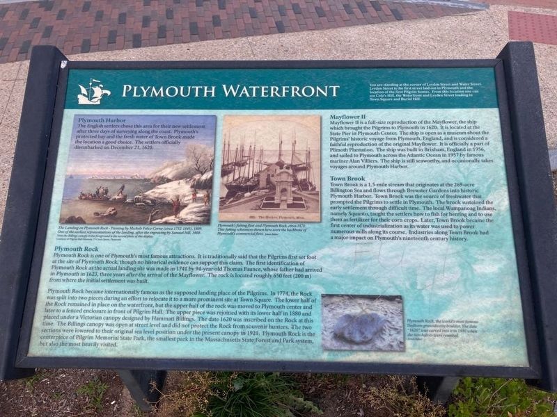
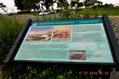
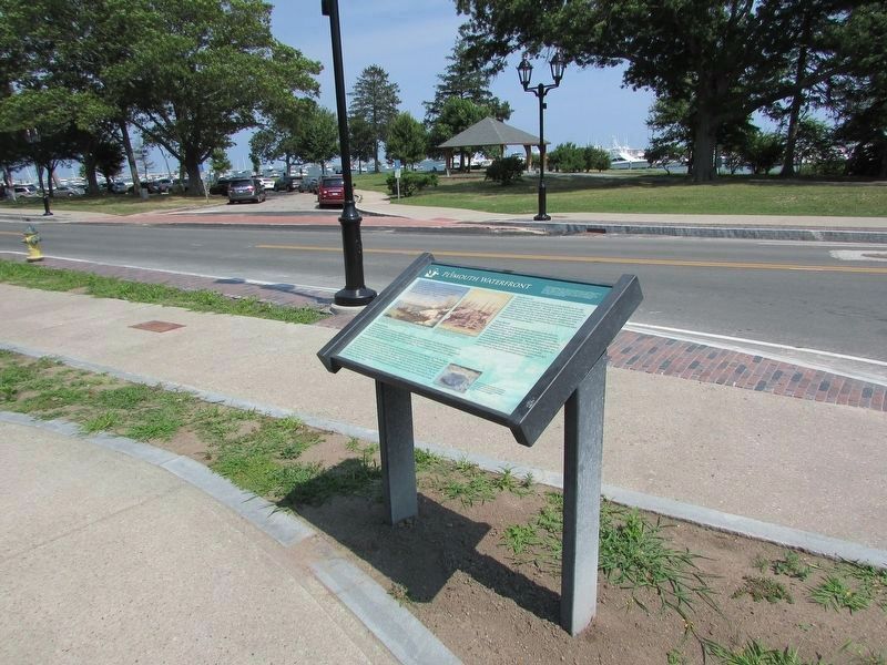
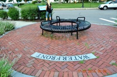
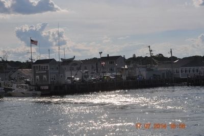
You are standing at the corner of Leyden Street and Water Street. Leyden Street is the first street laid out in Plymouth and the location of the first Pilgrim homes. From this location one can see Cole’s Hill, the Waterfront and Leyden Street leading to Town Square and Burial Hill.
Plymouth Harbor
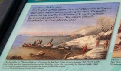
The English settlers chose this area for their new settlement after three days of surveying along the coast. Plymouth’s protected bay and the fresh water of Town Brook made the location a good choice. The settlers officially disembarked on December 21, 1620.
The landing on Plymouth Rock- Painting by Michele Felice Corne (circa 1752-1845), 1809.
One of the earliest representations of the landing, after the engraving by Samuel Hill, 1800.
Note the Billings canopy in the foreground is the second photo of this display.
Courtesy of Pilgrim Hall Museum 75 Court Street, Plymouth
Plymouth’s fishing fleet and Plymouth Rock, circa 1870. This fishing schooners shown here were the backbone of Plymouth’s commercial fleet. James Baker
Plymouth Rock
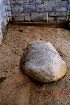
Plymouth Rock is one of Plymouth’s most famous attractions. It is traditionally
this page online
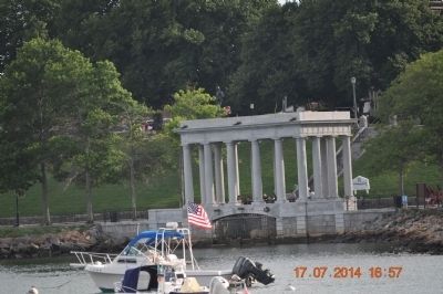
Plymouth Rock became internationally famous as the supposed landing place of the Pilgrims. In 1774, the Rock was split into two pieces during an effort to relocate it to a more prominent site at Town Square. The lower half of Rock remained in place on the waterfront, but the upper half was moved to Plymouth center and later to a fenced enclosure in front of Pilgrim Hall. The upper piece was rejoined with its lower half in 1880 and placed under a Victorian canopy designed by Hammatt Billings. The date 1620 was inscribed on the Rock at this time. The Billings canopy was open at street level and did no protect the Rock from souvenir hunters. The two sections were lowered to their original sea level position under the present
Mayflower II
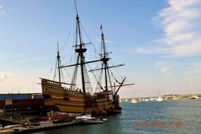
Mayflower II is a full-size reproduction of the Mayflower, the ship which brought the Pilgrims to Plymouth in 1620. It is located at the State Pier in Plymouth Center. The ship is open as a museum about the Pilgrim’s historic voyage from Plymouth, England, and is considered a faithful reproduction of the original Mayflower. It is officially a part of Plimoth Plantation. The ship was built in Brixham, England in 1956, and sailed to Plymouth across the Atlantic Ocean in 1957 by famous mariner Alan Villiers. The ship is still seaworthy, and occasionally takes voyages around Plymouth Harbor.
Town Brook
Town Brook is a 1.5-mile stream that originates at the 269–acre Billington Sea and flows through Brewster Garden into historic Plymouth Harbor. Town Brook was the source of freshwater that prompted the Pilgrims to settle in Plymouth. The brook sustained the early settlement through difficult times. The local Wampanoag Indians, namely
Plymouth Rock, the world’s most famous Dedham granodiorite boulder. The date “1620” was carved into it in 1880 when the two halves were reunited.
James Baker
Topics. This historical marker is listed in this topic list: Settlements & Settlers. A significant historical month for this entry is December 1749.
Location. 41° 57.395′ N, 70° 39.716′ W. Marker is in Plymouth, Massachusetts, in Plymouth County. It is at the intersection of Water Street and Leyden St on Water Street. Touch for map. Marker is in this post office area: Plymouth MA 02360, United States of America. Touch for directions.
Regionally, this marker is on the South Shore. It is also in the American Northeast, in New England, and on the Eastern Seaboard. Globally, it is in the North Atlantic Region, North America, the Western Hemisphere, the Western
Other nearby markers. At least 8 other markers are within walking distance of this marker: William Bradford (a few steps from this marker); Cole’s Hill (a few steps from this marker); Leyden Street (within shouting distance of this marker); a different marker also named Coles Hill (within shouting distance of this marker); 1630 - 1930 (within shouting distance of this marker); Joseph Tribble House (within shouting distance of this marker); Gurnet Fortifications (within shouting distance of this marker); First House Built by the Pilgrims (within shouting distance of this marker). Touch for a list and map of all markers in Plymouth.
Credits. This page was last revised on June 13, 2020. It was originally submitted on August 1, 2014, by Sandra Hughes Tidwell of Killen, Alabama, USA. This page has been viewed 1,411 times since then and 47 times this year. Photos: 1. submitted on June 13, 2020. 2. submitted on August 1, 2014, by Sandra Hughes Tidwell of Killen, Alabama, USA. 3. submitted on August 23, 2017, by Bill Coughlin of Woodland Park, New Jersey. 4, 5, 6, 7, 8, 9, 10. submitted on August 1, 2014, by Sandra Hughes Tidwell of Killen, Alabama, USA. • Bill Pfingsten was the editor who published this page.
