Cheriton in Northampton County, Virginia — The American South (Mid-Atlantic)
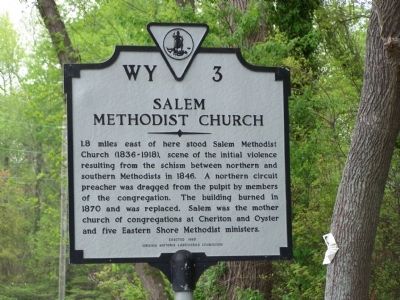
Salem Methodist Church
Erected 1983 by Virginia Historic Landmarks Commission. (Marker Number WY-3.)
Topics and series. This historical marker is listed in these topic lists: Churches & Religion • Notable Events. In addition, it is included in the Virginia Department of Historic Resources (DHR) series list. A significant historical year for this entry is 1846.
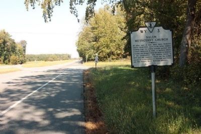
Location. 37° 18.593′ N, 75° 57.699′ W. Marker is in Cheriton, Virginia, in Northampton County. Marker is at the intersection of US 13 and Cobb Station Road (County Route 636), on the right when traveling north on US 13. Touch for map. Marker is in this post office area: Cheriton VA 23316, United States of America. Touch for directions.
Other nearby markers. At least 8 other markers are within 4 miles of this marker, measured as the crow flies. Stratton Manor (a few steps from this marker); Eyre Hall (within shouting distance of this marker); Site of Tidewater Institute (approx. ¾ mile away); Town Fields (approx. 1.2 miles away); Home of First Settler (approx. 2.8 miles away); Home of the First Settler (approx. 2.8 miles away); Gingaskin Indian Reservation (approx. 3.1 miles away); Historic Northampton County Court Bell (approx. 3.1 miles away). Touch for a list and map of all markers in Cheriton.
Credits. This page was last revised on June 16, 2016. It was originally submitted on May 4, 2008, by Bill Pfingsten of Bel Air, Maryland. This page has been viewed 1,361 times since then and 40 times this year. Photos: 1. submitted on May 4, 2008, by Bill Pfingsten of Bel Air, Maryland. 2. submitted on October 23, 2011, by Mike Stroud of Bluffton, South Carolina.

