Near West Liberty in Logan County, Ohio — The American Midwest (Great Lakes)
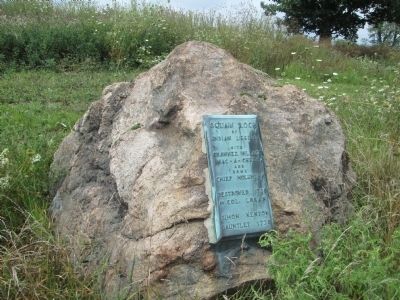
Squaw Rock
Benjamin Logan Battle Site
— Mack-A-Cheek Village —
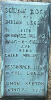
Squaw Rock
Of
Indian Legend
Site
Shawnee Village Mac-A-Cheek
and
home
Chief Moluntha
Destroyed 1786
by Col. Logan Simon Kenton Gauntlet
1778
Erected by Logan County Historical Society.
Topics. This historical marker is listed in these topic lists: Native Americans • Settlements & Settlers. A significant historical year for this entry is 1786.
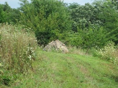
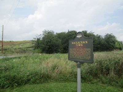
Location. 40° 15.073′ N, 83° 43.805′ W. Marker is near West Liberty, Ohio, in Logan County. Marker can be reached from Township Road 47 (Local Road 47) 0.1 miles east of State Route 245 (State Route 245), on the right when traveling north. marker is on hillside at NE corner of St Rt 245 and Twp Rd 47 about one mile east of West Liberty, Ohio. Marker is on private property, but owner has bush-hogged a trail up the hill from St Rt 245. Touch for map. Marker is at or near this postal address: 10234 Twp Rd 47, West Liberty OH 43357, United States of America. Touch for directions.
Other nearby markers. At least 8 other markers are within walking distance of this marker. Industry on the Macacheek (approx. 0.2 miles away); From Generation to Generation (approx. 0.2 miles away); Over a Century of Tours (approx. 0.2 miles away); A Castle as a Farmhouse (approx. 0.2 miles away); Let's Play (approx. 0.2 miles away); Who's in the Dog House? (approx. 0.2 miles away); Storing the Crops, Livestock and Machinery (approx. 0.2 miles away); The Barn at Mac-A-Cheek Castle (approx. 0.2 miles away). Touch for a list and map of all markers in West Liberty.
Credits. This page was last revised on January 8, 2020. It was originally submitted on August 11, 2014, by Rev. Ronald Irick of West Liberty, Ohio. This page has been viewed 1,727 times since then and 95 times this year. Photos: 1, 2, 3, 4. submitted on August 11, 2014, by Rev. Ronald Irick of West Liberty, Ohio. • Al Wolf was the editor who published this page.


