Port Republic in Atlantic County, New Jersey — The American Northeast (Mid-Atlantic)
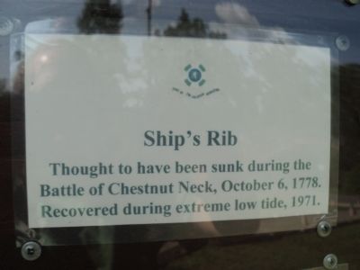
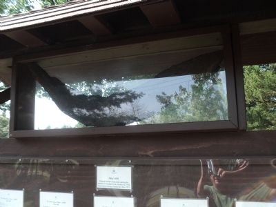
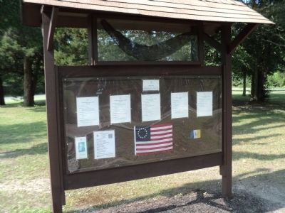
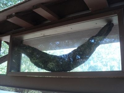
Ship’s Rib
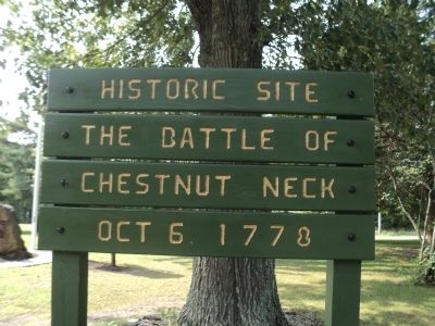
Thought to have been sunk during the Battle of Chestnut Neck, October 6, 1778. Recovered during extreme low tide, 1971.
Topics. This historical marker is listed in these topic lists: War, US Revolutionary • Waterways & Vessels. A significant historical month for this entry is October 1540.
Location. 39° 32.666′ N, 74° 27.702′ W. Marker is in Port Republic, New Jersey, in Atlantic County. Marker is at the intersection of New York Road (U.S. 9) and Chestnut Neck Road (County Route 575), on the right when traveling north on New York Road. Touch for map. Marker is in this post office area: Port Republic NJ 08241, United States of America. Touch for directions.
Other nearby markers. At least 8 other markers are within 3 miles of this marker, measured as the crow flies. Privateers (here, next to this marker); 3rd Battalion Gloucester County Militia (a few steps from this marker); British Anchor (a few steps from this marker); Battle of Chestnut Neck (within shouting distance of this marker); Welcome to Port Republic, New Jersey (about 300 feet away, measured in a direct line); Meeting House (approx. 2˝ miles away); Smith's Meeting House (approx. 2˝ miles away); Franklin Inn (approx. 2.6 miles away). Touch for a list and map of all markers in Port Republic.
Also see . . . The Battle of Chestnut Neck. The NJ Barrens website. (Submitted on August 11, 2014, by Bill Coughlin of Woodland Park, New Jersey.)
Credits. This page was last revised on June 16, 2016. It was originally submitted on August 11, 2014, by Bill Coughlin of Woodland Park, New Jersey. This page has been viewed 689 times since then and 25 times this year. Photos: 1, 2, 3, 4, 5. submitted on August 11, 2014, by Bill Coughlin of Woodland Park, New Jersey.
