Port Republic in Atlantic County, New Jersey — The American Northeast (Mid-Atlantic)
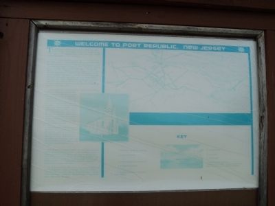
Welcome to Port Republic, New Jersey
The first settlement in what is now known as Atlantic County was made at Chestnut Neck, on the west bank of the Mullica River, near where the village of Port Republic is now located.
In 1637, John Mullica sailed up the river that took his name, landing at Chestnut Neck, Green Bank and Sweetwater (now Pleasant Mills), from thence he journeyed across the county to Mullica Hill, where he settled, lived and died. The river and town still bear the name of the first employer of this section of New Jersey. He reported the county a vast wilderness, inhabited by Indians, the forest luxuriant in the wild grapes and nuts, the waters teeming with fish, geese, ducks and sea birds. Here on the beach sands, the sea birds laid their eggs and reared their young. The presence of large numbers of eggs gave the place the name Egg Harbor in the after years.
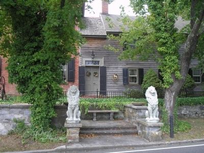
In its early days, Port Republic was known as Wrangleboro. During the American Revolutionary War, Port Republic provided a refuge to the residents of the nearby community of Chestnut Neck when the British Army sacked their town on October 6, 1778. Among the refugees was Daniel Mathis, a tavern keeper who built the Franklin Inn in Port Republic, which is a private house today. Most memorable revenge that was visited on the British navy was when some ships were trapped in the creek by the ebb tides.
Port Republic was also known as Unionville until being incorporated as a city by an Act of the New Jersey Legislature on March 1st, 1905, from portions of Galloway Township. As of the United States 2012 Census, the city has a total population of 1,028.
Port Republic operates under the City form of New Jersey municipal government, led by a Mayor and a seven-member City Council. The City Council consists of two members elected from wards to three-year terms, and five members elected at-large to four-year terms in office, all of whom are elected in partisan elections on a staggered basis.
As of this printing, Feb. 2012, the Mayor of the City of Port Republic is Gary Giberson. Members of the City Council are John Adams, Doris Bugdon, Charles Endicott, Roger Giberson, Donna Riegel, Craig Rummler, and Kevin Wessler.
Topics. This historical marker is listed in these topic lists: Colonial Era • Settlements & Settlers • War, US Revolutionary. A significant historical month for this entry is March 1915.
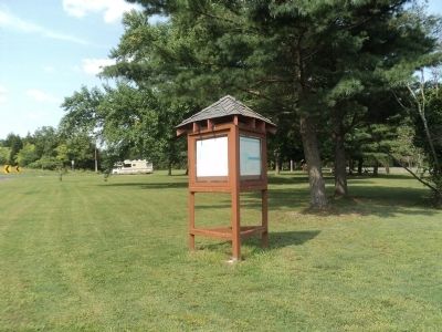
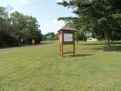
Location. 39° 32.634′ N, 74° 27.743′ W. Marker is in Port Republic, New Jersey, in Atlantic County. Marker is at the intersection of New York Road (U.S. 9) and Chestnut Neck Road (County Route 575), on the right when traveling north on New York Road. Touch for map. Marker is in this post office area: Port Republic NJ 08241, United States of America. Touch for directions.
Other nearby markers. At least 8 other markers are within 3 miles of this marker, measured as the crow flies. 3rd Battalion Gloucester County Militia (within shouting distance of this marker); British Anchor (within shouting distance of this marker); Privateers (within shouting distance of this marker); Ship’s Rib (about 300 feet away, measured in a direct line); Battle of Chestnut Neck (about 400 feet away); Meeting House (approx. 2˝ miles away); Smith's Meeting House (approx. 2˝ miles away); Franklin Inn (approx. 2.6 miles away). Touch for a list and map of all markers in Port Republic.
Credits. This page was last revised on June 16, 2016. It was originally submitted on August 12, 2014, by Bill Coughlin of Woodland Park, New Jersey. This page has been viewed 993 times since then and 72 times this year. Photos: 1, 2, 3, 4, 5. submitted on August 12, 2014, by Bill Coughlin of Woodland Park, New Jersey.
