Menomonee Falls in Waukesha County, Wisconsin — The American Midwest (Great Lakes)
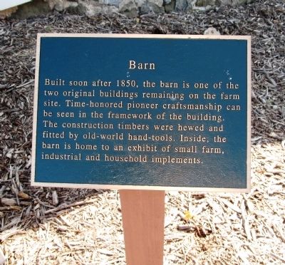
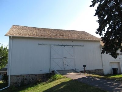
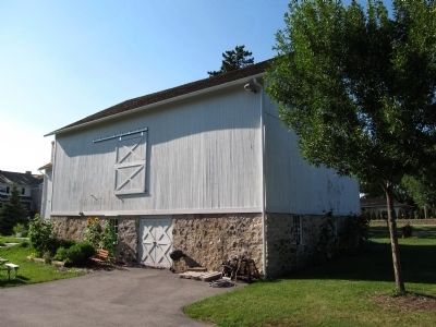
Barn
Erected by Menomonee Falls Historical Society.
Topics. This historical marker is listed in these topic lists: Agriculture • Notable Buildings • Settlements & Settlers. A significant historical year for this entry is 1850.
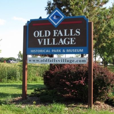
Location. 43° 11.499′ N, 88° 6.296′ W. Marker is in Menomonee Falls, Wisconsin, in Waukesha County. Marker is at the intersection of County Line Road (County Route Q) and Pilgrim Road, on the right when traveling east on County Line Road. Marker is located in the Old Falls Village Historical Park. Touch for map. Marker is at or near this postal address: N96 W15791 County Line Road, CTH Q, Menomonee Falls WI 53051, United States of America. Touch for directions.
Other nearby markers. At least 8 other markers are within walking distance of this marker. Miller-Davidson House (within shouting distance of this marker); Umhoefer House (within shouting distance of this marker); Milwaukee Road Depot (within shouting distance of this marker); School House (within shouting distance of this marker); Sunnyside School Bell Tower Replica (within shouting distance of this marker); Steichen House (about 300 feet away, measured in a direct line); Koch House (about 300 feet away); Brogan Cabin (about 400 feet away). Touch for a list and map of all markers in Menomonee Falls.
Also see . . . Old Falls Village. (Submitted on August 31, 2014, by Paul Fehrenbach of Germantown, Wisconsin.)
Credits. This page was last revised on June 16, 2016. It was originally submitted on August 14, 2014, by Paul Fehrenbach of Germantown, Wisconsin. This page has been viewed 390 times since then and 20 times this year. Photos: 1, 2, 3, 4. submitted on August 14, 2014, by Paul Fehrenbach of Germantown, Wisconsin. • William J. Toman was the editor who published this page.


