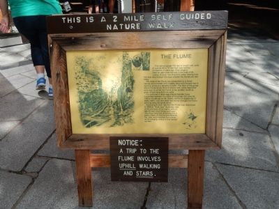
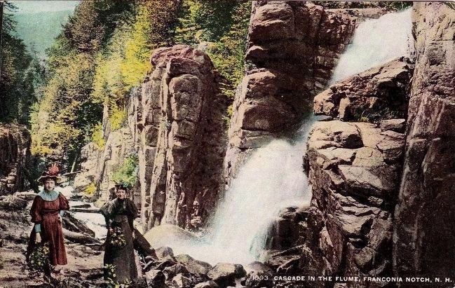
The Flume
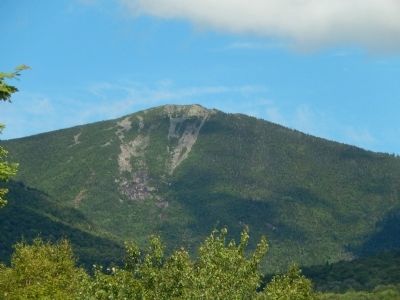
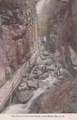
This narrow gorge 700 feet in length with walls of granite 60 to 70 feet high was formed thousands of years ago when magma, filled an east-west fracture in the side of Mt. Liberty. Erosion resulting from water flowing over this lava dike through the ages created the Flume you see today.
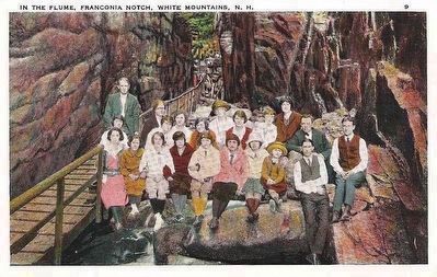
The walls of the Flume are overarched by a forest canopy and covered with mosses, ferns and flowers that in summer produce a tapestry of color. The floor of the gorge where Flume Brook flows is strewn with rocks deposited eons ago. In winter the Flume is like another world as great icicles hang from the walls.
For centuries a large egg-shaped boulder hung suspended between the walls of the gorge. On June 20, 1883 a cloudburst on Mt. Liberty started an avalanche of water, earth, rock and trees that roared through the Flume carrying away the great stone.
According to local folk-lore the Flume was discovered in 1808 by "Aunt Jess" Guernsey, one of the pioneers of the region, who at age 93 went trout fishing and upon returning home told of looking into a great chasm. At first no one believed her, later word reached the outside world bringing visitors to this natural wonder.
Topics. This historical marker is listed in this topic list: Natural Features. A significant historical month for this entry is June 2035.
Location. 44° 5.828′ N,
Other nearby markers. At least 8 other markers are within 4 miles of this marker, measured as the crow flies. Eastern Brook Trout (within shouting distance of this marker); Franconia Notch State Park (within shouting distance of this marker); A Bit of History (within shouting distance of this marker); a different marker also named The Flume (within shouting distance of this marker); Franconia Range (about 400 feet away, measured in a direct line); Betty and Barney Hill Incident (approx. 0.8 miles away); Clark's Bridge (approx. 3.2 miles away); Quinten E. Mulleavey (approx. 3.2 miles away). Touch for a list and map of all markers in Franconia.
Credits. This page was last revised on June 16, 2016. It was originally submitted on August 21, 2014, by Bill Pfingsten of Bel Air, Maryland. This page has been viewed 506 times since then and 32 times this year. Photos: 1, 2. submitted on August 21, 2014, by Bill Pfingsten of Bel Air, Maryland. 3, 4, 5. submitted on September 18, 2015.
