Marker Logo HMdb.org THE HISTORICAL
MARKER DATABASE
“Bite-Size Bits of Local, National, and Global History”
Near Waynesfield in Auglaize County, Ohio — The American Midwest (Great Lakes)
 

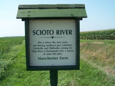
Scioto River

Manchester Farm


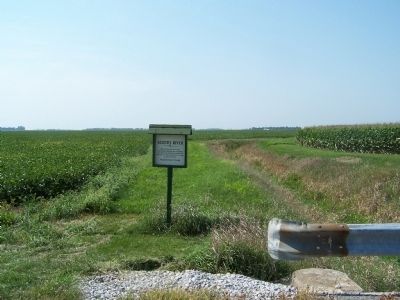
Headwaters of Scioto River Marker image. Click for full size.
Photographed By Rev. Ronald Irick, November 14, 2011
1. Headwaters of Scioto River Marker
Inscription.  This is where the river starts and flowing southeast past Columbus, Circleville, and Chillicothe, joining the Ohio River at Portsmouth after a course of some 230 miles.
 
Erected by Manchester Farm.
 
Topics. This historical marker is listed in this topic list: Waterways & Vessels.
 
Location. 40° 34.017′ N, 83° 52.81′ W. Marker is near Waynesfield, Ohio, in Auglaize County. Marker is on Hardin county Road 15 (County Route 15) one mile north of St Rt 385 (Ohio Route 385), on the left when traveling north. Touch for map. Marker is at or near this postal address: 17231 County Road 15, Waynesfield OH 45896, United States of America. Touch for directions.
 
Other nearby markers. At least 8 other markers are within 6 miles of this marker, measured as the crow flies. Manchester School (approx. 1.3 miles away); Roundhead (approx. 2.2 miles away); Roundhead Veterans Memorial (approx. 2.2 miles away); Roundhead School (approx. 2.2 miles away); Chief Roundhead's Village (approx. 2.4 miles away); Willow Branch Veterans Memorial (approx. 4.7 miles
Paid Advertisement
Click on the ad for more information.
Please report objectionable advertising to the Editor.
Click or scan to see
this page online
away); Headwaters of the Auglaize River (approx. 5.3 miles away); Waynesfield Veterans Memorial (approx. 5.4 miles away). Touch for a list and map of all markers in Waynesfield.
 
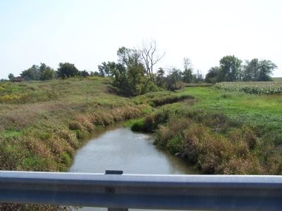
Headwaters of Scioto River Marker image. Click for full size.
Photographed By Rev. Ronald Irick, November 14, 2011
2. Headwaters of Scioto River Marker
looking west across the Auglaize prairie
perhaps the last identifiable stretch of the Scioto image. Click for full size.
Photographed By Rev. Ronald Irick, November 14, 2011
3. perhaps the last identifiable stretch of the Scioto
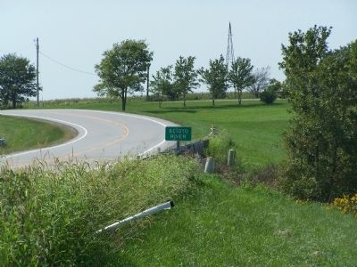
St Rt 385 crossing the Scioto image. Click for full size.
Photographed By Rev. Ronald Irick, November 14, 2011
4. St Rt 385 crossing the Scioto
about 1 mile south of the headwaters marker this is just west of Roundhead, Ohio
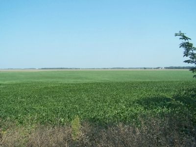
the flat Auglaize, or Prairie of Glass, somewhere in this marshy flatness, the river rises image. Click for full size.
Photographed By Rev. Ronald Irick, November 14, 2011
5. the flat Auglaize, or Prairie of Glass, somewhere in this marshy flatness, the river rises
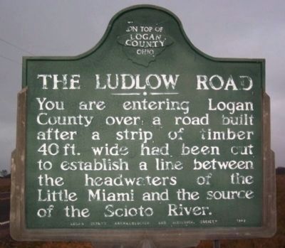
Ludlow Road Marker image. Click for full size.
Photographed By Rev. Ronald Irick, September 16, 2009
6. Ludlow Road Marker
text includes the phrase "the source of the Scioto River"
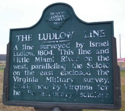
Ludlow Line Marker image. Click for full size.
Photographed By Rev. Ronald Irick, September 16, 2009
7. Ludlow Line Marker
opposite side of Ludlow marker text explains the boundaries of the Virginia Military survey this survey was based on the source of the Scioto River
 
 
Credits. This page was last revised on April 27, 2022. It was originally submitted on August 27, 2014, by Rev. Ronald Irick of West Liberty, Ohio. This page has been viewed 1,684 times since then and 175 times this year. Photos:   1, 2, 3, 4, 5, 6, 7. submitted on August 27, 2014, by Rev. Ronald Irick of West Liberty, Ohio. • Al Wolf was the editor who published this page.
Share this page.  
Share on Tumblr
m=76598

CeraNet Cloud Computing sponsors the Historical Marker Database.
Paid Advertisements


Sep. 21, 2023