Near Talcott in Summers County, West Virginia — The American South (Appalachia)
Fort Greenbrier
Inscription.
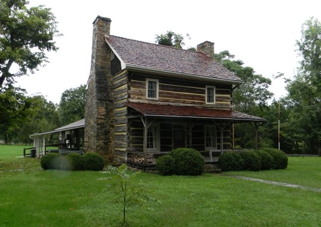
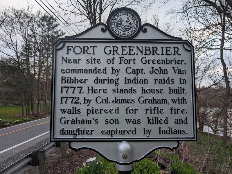
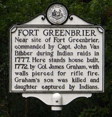
Near site of Fort Greenbrier, commanded by Capt. John Van Bibber during Indian raids in 1777. Here stands house built, 1772, by Col. James Graham, with walls pierced for rifle fire. Graham's son was killed and daughter captured by Indians.
Topics and series. This historical marker is listed in these topic lists: Native Americans • Settlements & Settlers • War, US Revolutionary. In addition, it is included in the West Virginia Archives and History series list. A significant historical year for this entry is 1777.
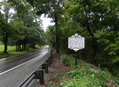
Location. 37° 39.117′ N, 80° 43.827′ W. Marker is near Talcott, West Virginia, in Summers County. Marker is at the intersection of West Virginia Route 3 and Graham House Road, on the right when traveling north on State Route 3. The marker is located at the entrance to the Lowell Public Fishing Access Area. Touch for map. Marker is in this post office area: Talcott WV 24981, United States of America. Touch for directions.
Other nearby markers. At least 8 other markers are within 2 miles of this marker, measured as the crow flies. Simpson Methodist Church Cemetery (approx. 1.3 miles away); John Henry Historical Park (approx. 1.8 miles away); Keaton Exhibit (approx. 1.8 miles away); John Henry (approx. 1.8 miles away); Hungards Creek Trestle (approx. 1.8 miles away); John Henry Burial Site (approx. 1.8 miles away); Big Bend Engineering Building (approx. 1.9 miles away); Tunnel Construction Technology Improves (approx. 2 miles away). Touch for a list and map of all markers in Talcott.
Also see . . . The Old Log Mansion at Lowell - National Register of Historic Places Nomination Form. West Virginia Department of Arts, Culture and History website entry (Submitted on August 28, 2014, by PaulwC3 of Northern, Virginia.)

Photographed By PaulwC3, August 22, 2014
4. Graham House (1770)
Graham House Preservation Society blog homepage
Click for more information.
Click for more information.
Credits. This page was last revised on March 29, 2024. It was originally submitted on August 28, 2014, by PaulwC3 of Northern, Virginia. This page has been viewed 927 times since then and 108 times this year. Photos: 1. submitted on March 29, 2024, by Mike Wintermantel of Pittsburgh, Pennsylvania. 2, 3, 4. submitted on August 28, 2014, by PaulwC3 of Northern, Virginia.


