Downtown in Saint Paul in Ramsey County, Minnesota — The American Midwest (Upper Plains)
History of Saint Paul
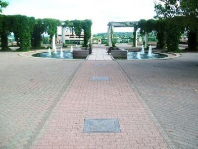
Photographed by William Fischer, Jr., August 27, 2014
1. History of Saint Paul Markers at Kellogg Park Mall
[1.] We entered a strange wilderness
[2.] We camped among Indian Nations
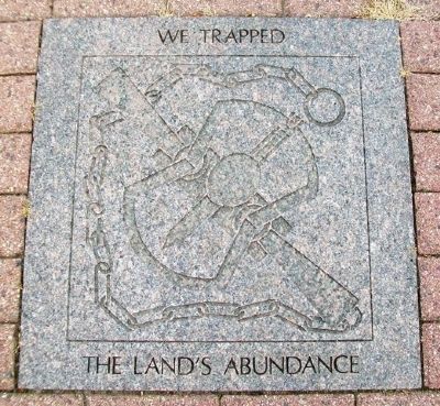
[3.] We trapped the land’s abundance
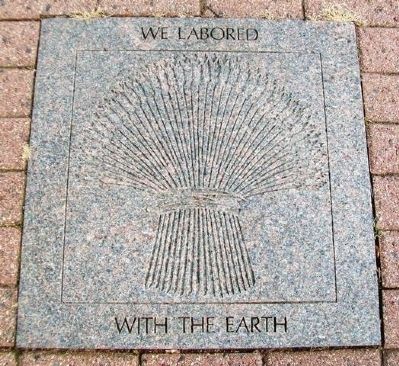
[4.] We labored with the Earth
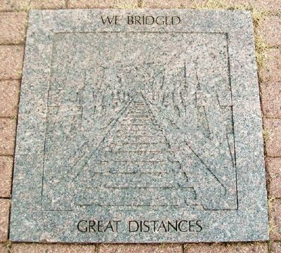
[5.] We bridged great distances
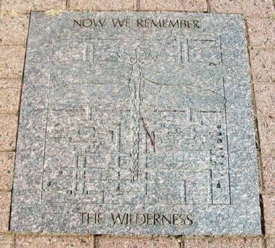
[6.] Now we remember the wilderness
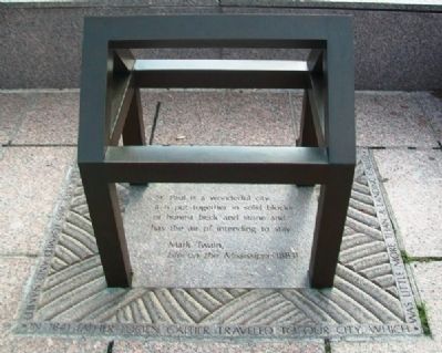
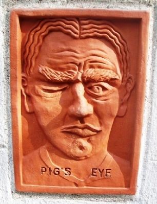
[Chapel] In 1841, Father Lucien Galtier traveled to our city, which was little more than a landing called Pig’s Eye. He built a chapel here and called it Saint Paul. Thus our city was formed and named.
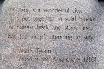
It is put together in solid blocks
of honest brick and stone and
has the air of intending to stay.
Mark Twain,
Life on the Mississippi (1883)
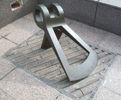
[Axe]
In October, 1841, eight men gathered here with their axes to build our city’s first chapel: Pierre & Charles Bottineau, two men named Pierre Gervais, Vital Guerin, Isaac & Joseph Labissonniere and Francois Morin.
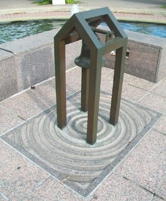
[Belfry & Bell]
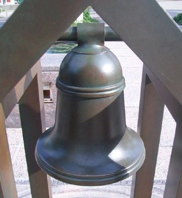
After the bell from the sunken steamboat Argo was salvaged in 1847, the Honorable Henry M. Rice presented it to Father Augustine Ravoux, who had it placed here in a belfry beside the chapel.
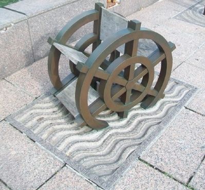
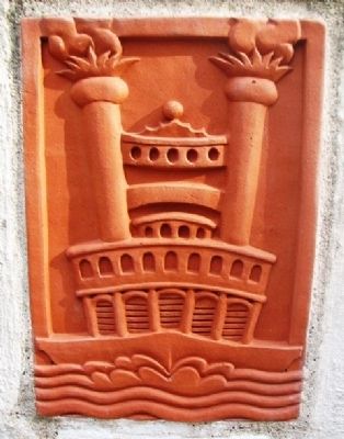
[Paddlewheel]
“The opening of navigation was hailed with delight and the first steamboat that touched the levee
this page online
The Minnesota Democrat, 1 November 1854
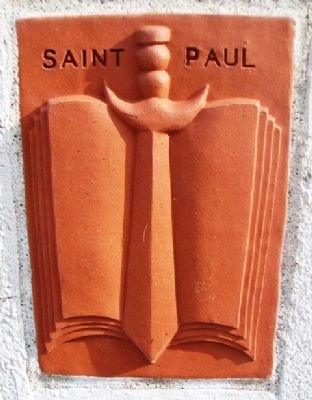
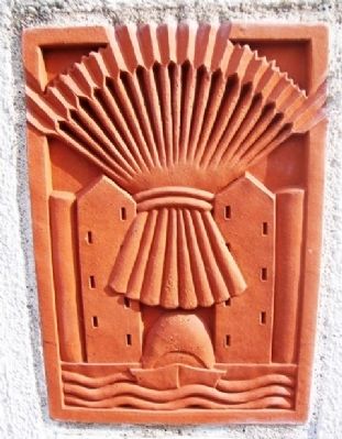
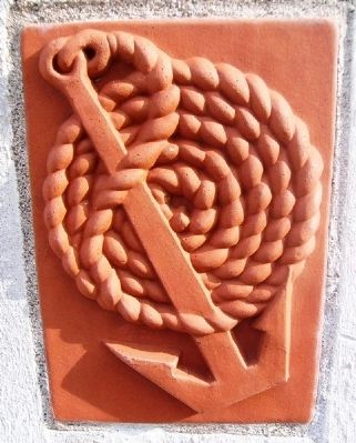
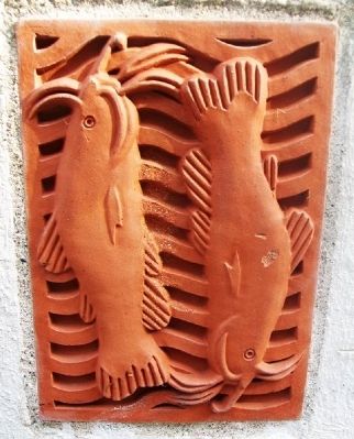
[Terra Cotta panels along riverfront wall, in no particular order]
Erected by City of Saint Paul.
Topics. This historical marker is listed in these topic lists: Religion & Religious Structures • Settlements & Settlers • Waterways & Vessels. A significant historical month for this entry is October 1841.
Location. 44° 56.692′ N, 93° 5.408′ W. Marker is in Saint Paul, Minnesota, in Ramsey County. It is in Downtown. It is at the intersection of Kellogg Boulevard East and Minnesota Street, on the right when traveling east on Kellogg Boulevard East. Markers are in Kellogg Park Mall. Touch for map. Marker is at or near this postal address: 62 Kellogg Boulevard East, Saint Paul MN 55101, United States of America. Touch for directions.

Regionally, this marker is in the Twin Cities Metropolitan Area. It is also in the American Midwest, in the Corn Belt, and in the Great River Road Region. Globally, it is in North America, the Western Hemisphere, the Western World, and the Anglosphere. Historically, it finds itself in what was once
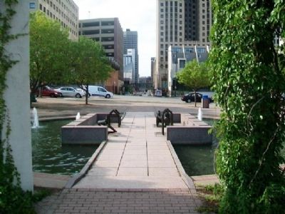
Photographed by William Fischer, Jr., August 27, 2014
2. History of Saint Paul Markers at Kellogg Park Mall
Other nearby markers. At least 8 other markers are within walking distance of this marker: The Reverend Lucien Galtier (within shouting distance of this marker); Sisters of St. Joseph of Carondelet (within shouting distance of this marker); Jacob Fahlstrom (about 500 feet away, measured in a direct line); Pioneer Building (about 700 feet away); Endicott Building (approx. 0.2 miles away); Larry Cohen Held the Highest Office in All Three Branches of Government in Saint Paul (approx. 0.2 miles away); Larry Cohen's Path to Social Justice (approx. 0.2 miles away); Union Depot (approx. ¼ mile away). Touch for a list and map of all markers in Saint Paul.
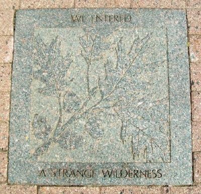
Photographed by William Fischer, Jr., August 27, 2014
3. History of Saint Paul Marker 1
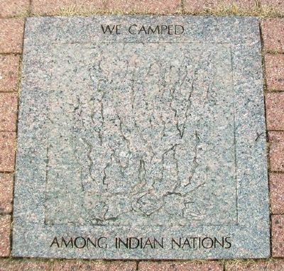
Photographed by William Fischer, Jr., August 27, 2014
4. History of Saint Paul Marker 2
Photographed by William Fischer, Jr., August 27, 2014
5. History of Saint Paul Marker 3
Photographed by William Fischer, Jr., August 27, 2014
6. History of Saint Paul Marker 4
Photographed by William Fischer, Jr., August 27, 2014
7. History of Saint Paul Marker 5
Photographed by William Fischer, Jr., August 27, 2014
8. History of Saint Paul Marker 6
Photographed by William Fischer, Jr., August 27, 2014
9. History of Saint Paul Chapel Marker
Photographed by William Fischer, Jr., August 27, 2014
10. History of Saint Paul Chapel Marker Quote
Photographed by William Fischer, Jr., August 27, 2014
11. History of Saint Paul Axe Marker
Photographed by William Fischer, Jr., August 27, 2014
12. History of Saint Paul Paddlewheel Marker
Photographed by William Fischer, Jr., August 27, 2014
13. History of Saint Paul Belfry Marker
Photographed by William Fischer, Jr., August 27, 2014
14. History of Saint Paul Belfry Bell
Photographed by William Fischer, Jr., August 27, 2014
15. History of Saint Paul Terra Cotta Panel
Photographed by William Fischer, Jr., August 27, 2014
16. History of Saint Paul Terra Cotta Panel
Photographed by William Fischer, Jr., August 27, 2014
17. History of Saint Paul Terra Cotta Panel
Photographed by William Fischer, Jr., August 27, 2014
18. History of Saint Paul Terra Cotta Panel
Photographed by William Fischer, Jr., August 27, 2014
19. History of Saint Paul Terra Cotta Panel
Photographed by William Fischer, Jr., August 27, 2014
20. History of Saint Paul Terra Cotta Panel
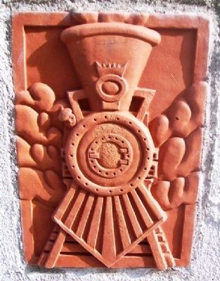
Photographed by William Fischer, Jr., August 27, 2014
21. History of Saint Paul Terra Cotta Panel
Credits. This page was last revised on November 25, 2025. It was originally submitted on August 31, 2014, by William Fischer, Jr. of Reynoldsburg, Ohio. This page has been viewed 1,368 times since then and 83 times this year. Photos: 1, 2, 3, 4, 5, 6, 7, 8, 9, 10, 11, 12, 13, 14, 15, 16, 17, 18, 19, 20, 21. submitted on August 31, 2014, by William Fischer, Jr. of Reynoldsburg, Ohio.
