Holy Neck in Suffolk, Virginia — The American South (Mid-Atlantic)
Isle of Wight County / Nansemond County
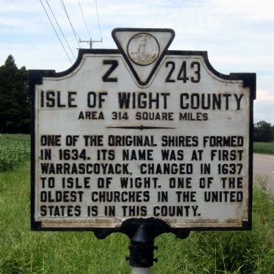
Isle of Wight County. Area 314 Square Miles. One of the original Shires formed in 1634. Its name was at first Warrascoyack, changed in 1637 to Isle of Wight. Of the oldest churches in the United States is in this county.
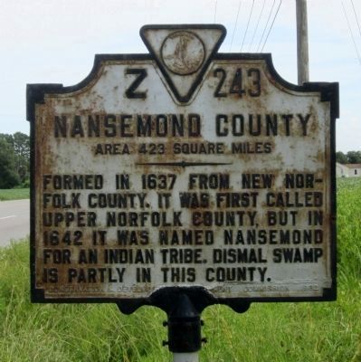
Nansemond County. Area 423 Square Miles. Formed in 1637 from New Norfolk County, it was first called Upper Norfolk County, but in 1642 it was named Nansemond for an Indian Tribe. Dismal Swamp is partly in this county.
Erected 1932 by Conservation & Development Commission. (Marker Number Z-243.)
Topics and series. This historical marker is listed in this topic list: Settlements & Settlers. In addition, it is included in the Virginia Department of Historic Resources (DHR) series list. A significant historical year for this entry is 1634.
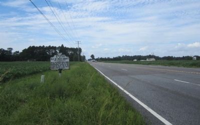
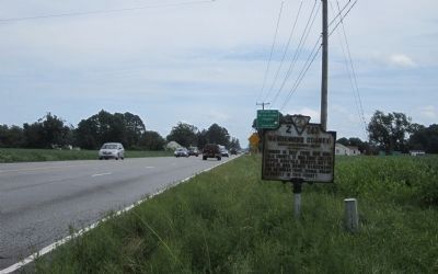
Location. 36° 47.714′ N, 76° 41.212′ W. Marker is in Suffolk, Virginia. It is in Holy Neck. Marker is on Pruden Boulevard (U.S. 460) 0.1 miles east of Ennis Mill Road (County Route 690), on the right when traveling east. Touch for map. Marker is at or near this postal address: 14056 Windsor Ct, Suffolk VA 23434, United States of America. Touch for directions.
Other nearby markers. At least 8 other markers are within 7 miles of this marker, measured as the crow flies. Seven Confederate Brothers (approx. 2.6 miles away); Civil War Cavalry Skirmish (approx. 3.1 miles away); Windsor, Virginia (approx. 3.2 miles away); Siege of Suffolk (approx. 6.1 miles away); Dumpling Island (approx. 6.2 miles away); a different marker also named Siege of Suffolk (approx. 6.6 miles away); Somerton Friends Meeting (approx. 6.6 miles away); Nansemond Indian Villages (approx. 6.7 miles away). Touch for a list and map of all markers in Suffolk.
Regarding Isle of Wight County / Nansemond County. Nansemond County Eliminated: In 1972 Nansemond made an independent city with the towns of Holland and Whaleyville. In 1974 Suffolk and Nansemond were consolidated to form the independent city of Suffolk.
Also see . . .
1. Nansemond County, Virginia. Wikipedia (Submitted on September 2, 2014.)
2. Isle of Wight County, Virginia. Wikipedia (Submitted on September 2, 2014.)
Credits. This page was last revised on February 1, 2023. It was originally submitted on September 2, 2014, by Bernard Fisher of Richmond, Virginia. This page has been viewed 937 times since then and 58 times this year. Photos: 1, 2, 3, 4. submitted on September 2, 2014, by Bernard Fisher of Richmond, Virginia.


