West Liberty in Logan County, Ohio — The American Midwest (Great Lakes)
West Liberty Water Works
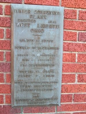
Water Softening Plant
— a WPA project —
Water Softening Plant
Erected 1941
West Liberty
Ohio
- - - -
Milton W. Stout - Mayor
Donald McAlexander - Clerk
Board of Trustees of - Public Affairs
Wm. Scarbourogh - President
Joseph W. Craig
Clyde L. Lynn
. . . .
Built in cooperation with
Works Projects
Administration
the
Jennings- Lawrence Co.
Engineers
Erected 1941 by Works Projects Administration.
Topics and series. This historical marker is listed in these topic lists: Charity & Public Work • Industry & Commerce. In addition, it is included in the Works Progress Administration (WPA) projects series list. A significant historical year for this entry is 1941.
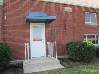
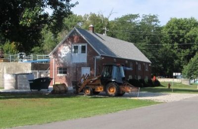
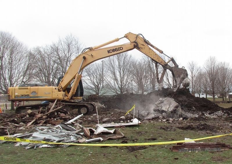
Location. Marker has been reported permanently removed. It was located near 40° 15.342′ N, 83° 44.761′ W. Marker was in West Liberty, Ohio, in Logan County. Marker was on Pickrelltown Road (Local Route 174) half a mile east of North Detroit Street (U.S. 68), on the right when traveling east. marker is on north wall of red brick building, on south side of road. The water works is on the edge of the West Liberty Village/ Lion's Club Park, between Mad River and Onion Run Ditch. Touch for map. Marker was at or near this postal address: 522 Pickrelltown Road, West Liberty OH 43357, United States of America.
We have been informed that this sign or monument is no longer there and will not be replaced. This page is an archival view of what was.
Other nearby markers. At least 8 other markers are within walking distance of this location. Onion Ditch Bridge (within shouting distance of this marker); West Liberty Lion's Club Park (about 300 feet away, measured in a direct line); Shawnee Nation in Logan County / Shawnee Villages in Logan County (approx. half a mile away); West Liberty World War I Memorial (approx. half a mile away); Hull's Trace / Moluntha (approx. half a mile away); Sherman M. Ricketts (approx. half a mile away); West Liberty Veterans Memorial (approx. 0.6 miles away); Michael Lane Partin (approx. 0.7 miles away). Touch for a list and map of all markers in West Liberty.
Credits. This page was last revised on March 5, 2020. It was originally submitted on September 3, 2014, by Rev. Ronald Irick of West Liberty, Ohio. This page has been viewed 705 times since then and 39 times this year. Photos: 1, 2, 3. submitted on September 3, 2014, by Rev. Ronald Irick of West Liberty, Ohio. 4. submitted on March 5, 2020, by Rev. Ronald Irick of West Liberty, Ohio. • Al Wolf was the editor who published this page.


