San Diego in San Diego County, California — The American West (Pacific Coastal)
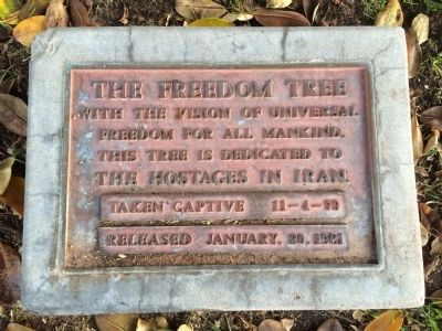
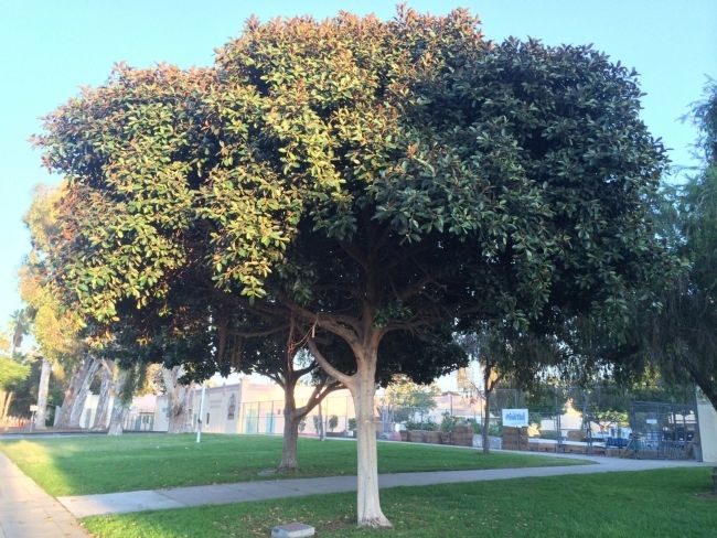
The Freedom Tree
With the vision of universal freedom for all mankind, this tree is dedicated to the hostages in Iran, taken captive 11–4–79, released January 20, 1981.
Topics and series. This historical marker is listed in this topic list: Government & Politics. In addition, it is included in the The Freedom Tree series list. A significant historical year for this entry is 1979.
Location. 32° 44.468′ N, 117° 8.965′ W. Marker is in San Diego, California, in San Diego County. Marker can be reached from the intersection of Upas Street and Herbert Street. On the northernmost grounds of Roosevelt Middle School. Touch for map. Marker is at or near this postal address: 3366 Park Boulevard, San Diego CA 92103, United States of America. Touch for directions.
Other nearby markers. At least 8 other markers are within walking distance of this marker. 1915-16 Isthmus (Fun Zone) (approx. 0.4 miles away); Balboa Park Carousel (approx. half a mile away); The Botanical Building (approx. 0.6 miles away); Laguna de Las Flores (approx. 0.6 miles away); Casa del Prado (approx. 0.6 miles away); Zoro Gardens Nudist Colony (approx. 0.7 miles away); California Quadrangle (approx. 0.7 miles away); David Charles Collier (approx. 0.7 miles away). Touch for a list and map of all markers in San Diego.
Additional keywords. political prisoners
Credits. This page was last revised on December 1, 2023. It was originally submitted on September 12, 2014, by Larry Gilbert of San Diego, California. This page has been viewed 495 times since then and 39 times this year. Photos: 1, 2. submitted on September 12, 2014, by Larry Gilbert of San Diego, California. • Syd Whittle was the editor who published this page.

