East Whiteland Township near Frazer in Chester County, Pennsylvania — The American Northeast (Mid-Atlantic)
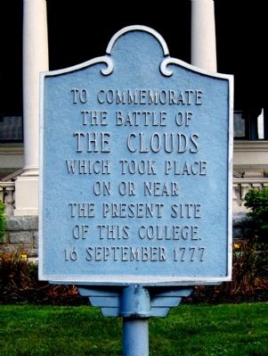
The Battle of the Clouds
The Battle of
the Clouds
which took place
on or near
the present site
of this college
16 September 1777
Topics. This historical marker is listed in this topic list: War, US Revolutionary. A significant historical date for this entry is September 16, 1777.
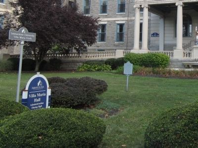
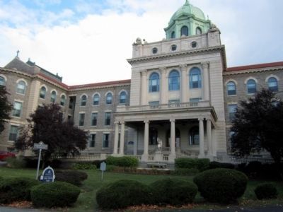
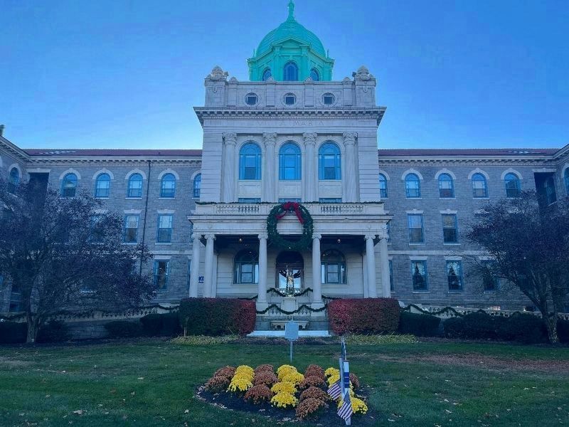
Location. 40° 1.79′ N, 75° 34.159′ W. Marker is near Frazer, Pennsylvania, in Chester County. It is in East Whiteland Township. Marker is on Immaculata Drive west of Gillet Drive, on the left when traveling west. Located north of Villa Maria Hall on the campus of Immaculata University. Touch for map. Marker is at or near this postal address: 1145 King Road, Immaculata PA 19345, United States of America. Touch for directions.
Other nearby markers. At least 8 other markers are within 3 miles of this marker, measured as the crow flies. A different marker also named Battle of the Clouds (approx. one mile away); Duffy’s Cut Mass Grave (approx. 2.1 miles away); Revolutionary War Patriots (approx. 2½ miles away); Massacre Farm / 19th Century House (approx. 2.6 miles away); The Paoli Memorial Association (approx. 2.6 miles away); Weaver’s Cottage (approx. 2.6 miles away); Site of the Paoli Massacre (approx. 2.6 miles away); Paoli Veterans Monument (approx. 2.6 miles away).
Also see . . . Immaculata University. (Submitted on September 12, 2014.)
Credits. This page was last revised on December 30, 2023. It was originally submitted on September 12, 2014, by Bernard Fisher of Richmond, Virginia. This page has been viewed 958 times since then and 37 times this year. Photos: 1, 2, 3. submitted on September 12, 2014, by Bernard Fisher of Richmond, Virginia. 4. submitted on November 14, 2023, by Keith S Smith of West Chester, Pennsylvania.


