La Porte in LaPorte County, Indiana — The American Midwest (Great Lakes)
Quaker Cemetery
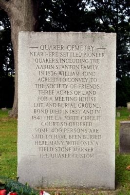
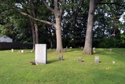
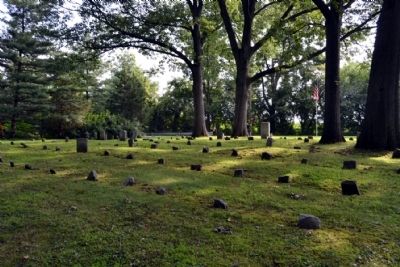
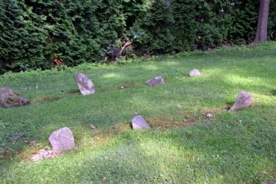
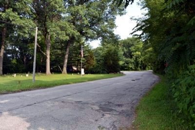
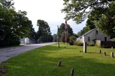
Near here settled pioneer Quakers, including the Aaron Stanton Family. In 1836 William Bond agreed to convey the Society of Friends three acres of land for a meeting house lot and burial ground. Bond died in 1837 and in 1841 the La Porte Circuit Court so ordered. Some 400 persons are said to have been buried, many with only a field stone marker.
— The Quaker Custom —
Topics and series. This historical marker is listed in these topic lists: Cemeteries & Burial Sites • Churches & Religion. In addition, it is included in the Quakerism series list. A significant historical year for this entry is 1836.
Location. 41° 37.785′ N, 86° 42.875′ W. Marker is in La Porte, Indiana, in LaPorte County. Marker is at the intersection of Park Street and County Road N 100W, on the left when traveling north on Park Street. Marker and cemetery are located southwest of the intersection. Touch for map. Marker is in this post office area: La Porte IN 46350, United States of America. Touch for directions.
Other nearby markers. At least 8 other markers are within 2 miles of this marker, measured as the crow flies. Charles W. Lindewald (approx. 0.4 miles away); The Lincoln Highway in La Porte County (approx. 1.3 miles away); The Lincoln Highway (approx. 1.3 miles away); First Log Cabin in LaPorte (approx. 1.3 miles away); Historic Etropal Theatre (approx. 1.3 miles away); Long Live La Porte (approx. 1.3 miles away); Indiana Territory Boundary Line (approx. 1.3 miles away); World War Memorial Tree LaPorte County (Indiana) (approx. 1.3 miles away). Touch for a list and map of all markers in La Porte.
Also see . . . Quaker Cemetery, Centre Township, La Porte County, Indiana. Ingen website entry (Submitted on September 29, 2021, by Larry Gertner of New York, New York.)
Credits. This page was last revised on September 29, 2021. It was originally submitted on September 14, 2014, by Duane Hall of Abilene, Texas. This page has been viewed 526 times since then and 27 times this year. Photos: 1, 2, 3, 4, 5, 6. submitted on September 14, 2014, by Duane Hall of Abilene, Texas.
