Inverness in Sunflower County, Mississippi — The American South (East South Central)
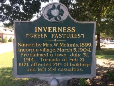
Inverness
(“Green Pastures”)
Named by Mrs. W. McInnis, 1899. Incorp. a village, March 5, 1904. Proclaimed a town, July 31, 1914. Tornado of February 21, 1971, affected 79 percent of buildings and left 214 casualties.
Erected 1987 by the Mississippi Department of Archives and History.
Topics and series. This historical marker is listed in these topic lists: Disasters • Settlements & Settlers. In addition, it is included in the Mississippi State Historical Marker Program series list. A significant historical date for this entry is February 21, 1917.
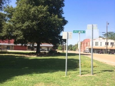
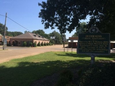
Location. 33° 21.215′ N, 90° 35.585′ W. Marker is in Inverness, Mississippi, in Sunflower County. Marker is at the intersection of Third Street and West Grand Avenue, on the left when traveling west on Third Street. Touch for map. Marker is at or near this postal address: Third Street, Inverness MS 38753, United States of America. Touch for directions.
Other nearby markers. At least 8 other markers are within 8 miles of this marker, measured as the crow flies. Little Milton Campbell (within shouting distance of this marker); Hank Cochran (approx. 6.8 miles away); Freedom School Bombing (approx. 6.9 miles away); Giles Penny Savers Store (approx. 7 miles away); Club Ebony (approx. 7.2 miles away); Irene Magruder (approx. 7.3 miles away); Church Street (approx. 7.4 miles away); Riley B. King (approx. 7½ miles away).
Also see . . .
1. Inverness, Mississippi. Wikipedia entry (Submitted on December 12, 2021, by Larry Gertner of New York, New York.)
2. February 1971 Mississippi Delta tornado outbreak. Wikipedia entry (Submitted on September 16, 2014, by Mark Hilton of Montgomery, Alabama.)
Credits. This page was last revised on December 12, 2021. It was originally submitted on September 16, 2014, by Mark Hilton of Montgomery, Alabama. This page has been viewed 652 times since then and 36 times this year. Photos: 1, 2, 3, 4. submitted on September 16, 2014, by Mark Hilton of Montgomery, Alabama. • Bernard Fisher was the editor who published this page.


