Greenwood in Leflore County, Mississippi — The American South (East South Central)
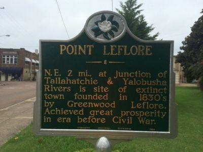
Point LeFlore
Erected 1954 by Mississippi Historical Commission.
Topics and series. This historical marker is listed in these topic lists: Settlements & Settlers • Waterways & Vessels. In addition, it is included in the Mississippi State Historical Marker Program series list.
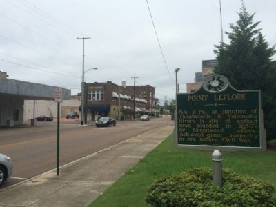
Location. 33° 31.236′ N, 90° 11.04′ W. Marker is in Greenwood, Mississippi, in Leflore County. Marker is at the intersection of Fulton Street and Ramcat Alley, on the left when traveling north on Fulton Street. Touch for map. Marker is at or near this postal address: 310 West Market Street, Greenwood MS 38930, United States of America. Touch for directions.
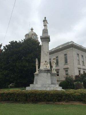
Other nearby markers. At least 8 other markers are within walking distance of this marker. LeFlore County Confederate Memorial (within shouting distance of this marker); Greenwood (within shouting distance of this marker); First United Methodist Church (about 500 feet away, measured in a direct line); WGRM Radio Studio (about 600 feet away); Greenwood Cotton Row District (about 700 feet away); Battery 'C' (approx. 0.2 miles away); Greenwood's First Artesian Well (approx. ¼ mile away); Charles Edward Wright (approx. ¼ mile away). Touch for a list and map of all markers in Greenwood.
Also see . . . Point LeFlore extract from book "Must See Mississippi: 50 Favorite Places". (Submitted on September 16, 2014, by Mark Hilton of Montgomery, Alabama.)
Credits. This page was last revised on June 16, 2016. It was originally submitted on September 16, 2014, by Mark Hilton of Montgomery, Alabama. This page has been viewed 560 times since then and 32 times this year. Photos: 1, 2, 3. submitted on September 16, 2014, by Mark Hilton of Montgomery, Alabama. • Bernard Fisher was the editor who published this page.


