Amissville in Culpeper County, Virginia — The American South (Mid-Atlantic)
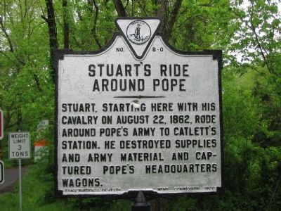
Stuart's Ride Around Pope
Erected 1928 by Conservation & Development Commission. (Marker Number C-8.)
Topics and series. This historical marker is listed in this topic list: War, US Civil. In addition, it is included in the Virginia Department of Historic Resources (DHR) series list. A significant historical date for this entry is August 22, 1862.
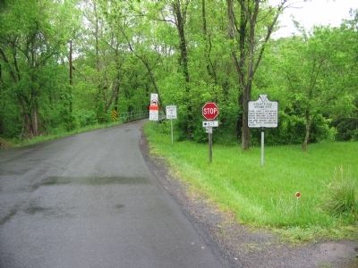
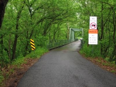
Location. This marker has been replaced by another marker nearby. It was located near 38° 41.717′ N, 77° 54.401′ W. Marker was in Amissville, Virginia, in Culpeper County. Marker was at the intersection of Old Bridge Road (Virginia Route 622) and Waterloo Road (Virginia Route 613), on the right when traveling north on Old Bridge Road. Located on the south end of Waterloo Bridge. Touch for map. Marker was at or near this postal address: 329 Old Bridge Rd, Amissville VA 20106, United States of America. Touch for directions.
Other nearby markers. At least 8 other markers are within 5 miles of this location, measured as the crow flies. Waterloo Bridge (here, next to this marker); Second Manassas Campaign (approx. ¾ mile away); Campaign of Second Manassas (approx. 1.4 miles away); Ashland Farm (approx. 1.9 miles away); a different marker also named Second Manassas Campaign (approx. 1.9 miles away); Culpeper County / Rappahannock County (approx. 3.8 miles away); a different marker also named Campaign of Second Manassas (approx. 4 miles away); a different marker also named Campaign of Second Manassas (approx. 4.7 miles away). Touch for a list and map of all markers in Amissville.
Related marker. Click here for another marker that is related to this marker. New Marker At This Location titled "Waterloo Bridge".
Credits. This page was last revised on February 22, 2023. It was originally submitted on May 16, 2008, by Craig Swain of Leesburg, Virginia. This page has been viewed 1,825 times since then and 45 times this year. Photos: 1, 2, 3. submitted on May 16, 2008, by Craig Swain of Leesburg, Virginia.


