Near Tennyson in Coke County, Texas — The American South (West South Central)
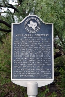
Mule Creek Cemetery
(4.5 miles southwest)
For years principal building here was a combination school-church. Since 20th century, shift to urban living has diminished population of Mule Creek.
Inscriptions on tombstones chronicle history of community. In spring, grounds are covered with Bluebonnets, state flower.
Erected 1971 by State Historical Survey Committee. (Marker Number 3528.)
Topics. This historical marker is listed in these topic lists: Cemeteries & Burial Sites • Settlements & Settlers.
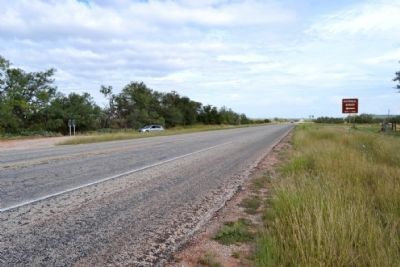
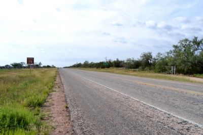
Location. 31° 44.823′ N, 100° 17.18′ W. Marker is near Tennyson, Texas, in Coke County. Marker is on U.S. 277, 0.1 miles south of Farm to Market Road 2333, on the right when traveling south. Touch for map. Marker is in this post office area: San Angelo TX 76905, United States of America. Touch for directions.
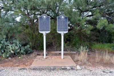
Other nearby markers. At least 8 other markers are within 10 miles of this marker, measured as the crow flies. Community of Tennyson (here, next to this marker); W.H. Brown (approx. 7.6 miles away); Maverick (approx. 8 miles away); Bronte (approx. 9.3 miles away); First Baptist Church (approx. 9½ miles away); First Methodist Church (approx. 9½ miles away); Fort Chadbourne C.S.A. / Texas Civil War Frontier Defense (approx. 9.7 miles away); Bronte Depot (approx. 9.7 miles away).
Also see . . . Mule Creek Cemetery. From the findagrave.com website. (Submitted on October 1, 2014.)
Credits. This page was last revised on November 2, 2020. It was originally submitted on October 1, 2014, by Duane Hall of Abilene, Texas. This page has been viewed 592 times since then and 40 times this year. Photos: 1, 2. submitted on October 1, 2014, by Duane Hall of Abilene, Texas. 3, 4. submitted on September 28, 2014.


