Miami Beach in Miami-Dade County, Florida — The American South (South Atlantic)
Barefoot Mailman
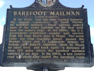
In the 1800s, mail was often carried between the coastal communities of South Florida by barefoot mailmen. These carriers walked most of the route barefoot on the firm sand near the water's edge. In the 1880s, the U.S. government established regular mail service from the Palm Beach area to Miami. The usual route was from Hypoluxo Island, passed the Orange Grove and Ft. Lauderdale Houses of Refuge and Baker's Haulover, then to Miami by small boat, and back again, a distance of over 120 miles which the barefoot mailmen covered in six days. In the 1890s, a new county road to Lemon City ended the barefoot route.
Erected by Sponsored by Eastern Airlines in cooperation with the Historical Association of Southern Florida.
Topics. This historical marker is listed in these topic lists: Communications • Settlements & Settlers.
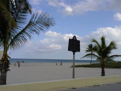
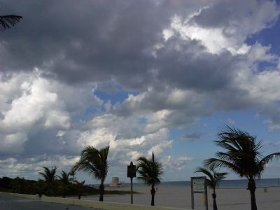
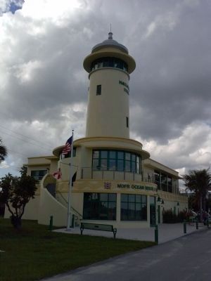
Location. 25° 54.817′ N, 80° 7.326′ W. Marker is in Miami Beach, Florida, in Miami-Dade County. Marker can be reached from Collins Avenue (State Road A1A) 0.6 miles south of Bayview Drive, on the left when traveling south. Marker is located on the beach south of the Haulover Beach MDFR Ocean Rescue Lifeguard Station. Touch for map. Marker is at or near this postal address: 10800 Collins Avenue, Miami Beach FL 33154, United States of America. Touch for directions.
Other nearby markers. At least 8 other markers are within 5 miles of this marker, measured as the crow flies. Haulover Beach Sport Fishing Docks (approx. 0.9 miles away); Fulford-By-The-Sea Fountain (approx. 2˝ miles away); Arch Creek Road Military Trail (approx. 2.6 miles away); Arch Creek (approx. 2.7 miles away); Arch Creek Bridge (approx. 2.7 miles away); North Shore Historic District (approx. 3.4 miles away); Biscayne House of Refuge (approx. 3.9 miles away); Biscayne (approx. 4.6 miles away). Touch for a list and map of all markers in Miami Beach.
Also see . . . Haulover Park. Wikipedia (Submitted on October 2, 2014, by Marsha A. Matson of Palmetto Bay, Florida.)
Credits. This page was last revised on January 25, 2018. It was originally submitted on October 2, 2014, by Marsha A. Matson of Palmetto Bay, Florida. This page has been viewed 1,009 times since then and 52 times this year. Photos: 1, 2, 3, 4. submitted on October 2, 2014, by Marsha A. Matson of Palmetto Bay, Florida. • Bernard Fisher was the editor who published this page.


