Lone Pine in Inyo County, California — The American West (Pacific Coastal)
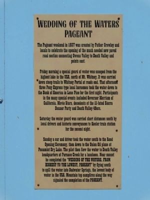
Wedding of the Waters Pageant
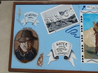
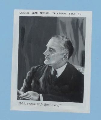
The pageant weekend in 1937 was created by Father Crowley and locals to celebrate the opening of the much needed new paved road section connecting Owens Valley to Death Valley and points east.
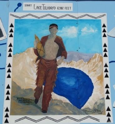
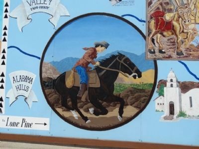
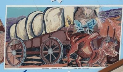
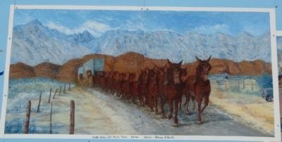
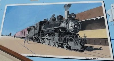
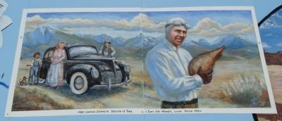
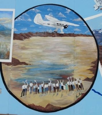
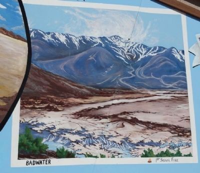
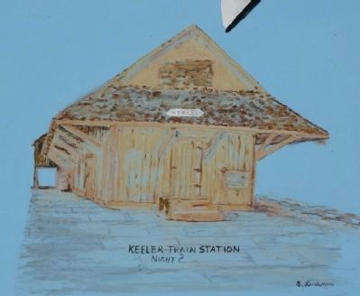
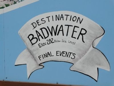
Friday morning a special gourd of water was scooped from the highest lake in the USA, north of Mt. Whitney. It was carried down steep trails to Whitney Portal at roads end. That afternoon three Pony Express type local horsemen took the water down to the Bank of America in Lone Pine for the first night. Participants in the many special events included Governor Merriam of California, Movie Stars, decedents (sic) of the ill-fated Sierra Donner Party and Death Valley 49ers. Saturday the water gourd was carried short distances south by local drivers and historic conveyances to Keeler train station for the second night. Sunday a car and driver took the water south to the Road Opening Ceremony, then down to the Union Oil plane at Panamint Dry Lake. The pilot then flew the water to Death Valley headquarters at Furnance Creek for a luncheon. Near sunset he completed lthe "Wedding of the Waters, from Highest to the Lowest, Pageant" by flying south to spill the water into Badwater Springs, the lowest body of water in the USA. Moutain top campfires along the way signaled the completion of the Pageant.
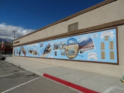
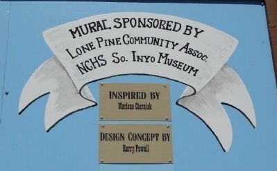
Erected 2008 by Lone Pine Community Assoc. NGHS So. Inyo Museum.
Topics. This historical marker is listed in this topic list: Roads & Vehicles. A significant historical year for this entry is 1937.
Location. 36° 36.476′ N, 118° 3.855′ W. Marker is in Lone Pine, California, in Inyo County. Marker is on N Main St, on the right when traveling north. On the side of the El Dorado Saving Bank wall. Touch for map. Marker is at or near this postal address: 400 N Main St, Lone Pine CA 93545, United States of America. Touch for directions.
Other nearby markers. At least 8 other markers are within one mile of this marker, measured as the crow flies. The Adobe Wall (about 800 feet away, measured in a direct line); Lone Pine's 'Movie Man' (approx. 0.3 miles away); The Duke and the Dow (approx. 0.3 miles away); Lone Pine Film Museum (approx. half a mile away); Mt. Whitney Pack Trains (approx. half a mile away); Fred French Family Oak (approx. 0.6 miles away); Disaster in 1872 (approx. ¾ mile away); Lone Pine Pioneer Cemetery (approx. one mile away). Touch for a list and map of all markers in Lone Pine.

Photographed By Denise Boose, September 27, 2014
3. Wedding of the Waters
Spirit of the Southwest blog entry
Click for more information.
Click for more information.
Credits. This page was last revised on September 6, 2021. It was originally submitted on October 5, 2014, by Denise Boose of Tehachapi, California. This page has been viewed 933 times since then and 61 times this year. Photos: 1, 2, 3, 4, 5, 6, 7, 8, 9, 10, 11, 12, 13, 14, 15, 16, 17, 18. submitted on October 5, 2014, by Denise Boose of Tehachapi, California. • Andrew Ruppenstein was the editor who published this page.
