Near Spicer in Kandiyohi County, Minnesota — The American Midwest (Upper Plains)
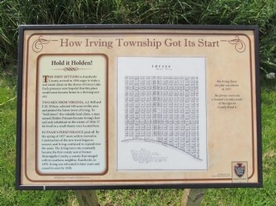
How Irving Township Got Its Start
Hold it Holden!
The first settlers in Kandiyohi County arrived in 1856 eager to stake a real estate claim on the shores of Green Lake. Early pioneers were hopeful that this place would soon become home to a thriving new city.
Two men from Virginia, A.J. Bell and E.M. Wilson, selected 160 acres in this area and platted the future town of Irving. To "hold down" this valuable land claim, a man named Holden Putnam became Irving's first and only inhabitant in the winter of 1856-57. He lived in a small shanty once located here.
Putnam's perseverance paid off. By the spring of 1857 more settlers moved in. Construction of the new town began in earnest, and Irving continued to expand over the years. The Irving town site eventually became the first county seat of former Monongalia County, a county that merged with its southern neighbor, Kandiyohi, in 1870. Irving was relocated in later years and ceased to exist by 1920.
The Irving Town site plat was drawn in 1857.
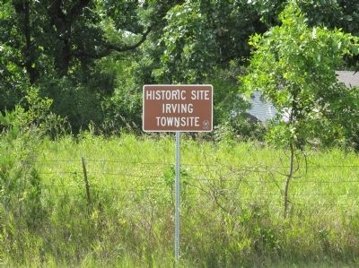
The former town site is located 1.6 miles south of this sign on County Road 4.
Funded in part by the Federal Highway Administration
Glacial Ridge Trail Scenic Byway
Erected by the Federal Highway Administration; Glacial Ridge Trail Scenic Byway .
Topics. This historical marker is listed in this topic list: Settlements & Settlers. A significant historical year for this entry is 1856.
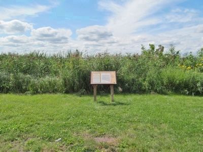
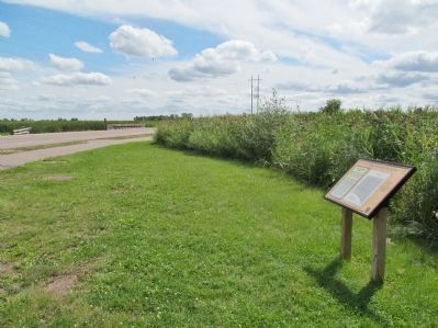
Location. 45° 16.068′ N, 94° 52.013′ W. Marker is near Spicer, Minnesota, in Kandiyohi County. Marker is on County Highway 4, 0.3 miles south of North Shore Drive (County Highway 30), on the right when traveling south. Marker is in the parking area north of the County Highway 4 bridge over the Middle Fork Crow River. Touch for map. Marker is in this post office area: Spicer MN 56288, United States of America. Touch for directions.
Other nearby markers. At least 8 other markers are within 5 miles of this marker, measured as the crow flies. Indian Camp (approx. 0.6 miles away); Green Lake Mounds (approx. ¾ mile away); First Missionary (approx. 1½ miles away); Green Lake Village and Mill (approx. 3.3 miles away); Little Crow's Camp (approx. 4.1 miles away); Veterans Memorial (approx. 4.1 miles away); Spicer (approx. 4.1 miles away); Origin Of Crow River Dam and Mills (approx. 4.4 miles away). Touch for a list and map of all markers in Spicer.
More about this marker. caption: Illustration Courtesy of Kandiyohi County Historical Society.
Also see . . .
1. Irving Township site of county’s first hotel. "Holden Putnam... was gone when they returned in the spring and
what happened to him is still a mystery." (Submitted on October 11, 2014.)
2. Irving Township, Kandiyohi County, Minnesota. Wikipedia entry. (Submitted on October 11, 2014.)
3. Irving Township 1958 Plat Map. (Submitted on October 11, 2014.)
Credits. This page was last revised on June 16, 2016. It was originally submitted on October 11, 2014, by Keith L of Wisconsin Rapids, Wisconsin. This page has been viewed 573 times since then and 25 times this year. Photos: 1, 2, 3, 4, 5. submitted on October 11, 2014, by Keith L of Wisconsin Rapids, Wisconsin.


