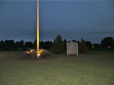
Near Hastings in Adams County, Nebraska — The American Midwest (Upper Plains)
Naval Ammunition Depot
Costing $71 million, the NAD had 207 miles of railroad track, 274 miles of roads, and 2,200 buildings, including hundreds of igloo-shaped explosives storage magazines. The depot embittered farmers whose land was taken by the government, but it produced an economic boom as Hastings's population jumped from 15,200 in 1942 to 23,000 in 1943. A September 1944 explosion killed 9 workers, injured fifty-three, and left a 550-foot-long crater. The blast was felt 100 miles away and shattered windows for miles around.
Erected by Adams County Historical Society, Clay County Historical Society, and Nebraska State Historical Society. (Marker Number 366.)
Topics and series. This historical marker is listed in these topic lists: Disasters • War, World II. In addition, it is included in the Nebraska State Historical Society series list. A significant historical month for this entry is June 1966.
Location. 40° 34.851′ N, 98° 19.606′ W. Marker is near Hastings, Nebraska, in Adams County. Marker is on South Technical Boulevard south of U.S. 6, on the right when traveling south. Touch for map. Marker is in this post office area: Hastings NE 68901, United States of America. Touch for directions.
Other nearby markers. At least 2 other markers are within 15 miles of this marker, measured as the crow flies. The Stein Building (approx. 3.3 miles away); Martin Brothers Historic Memorial (approx. 15 miles away).
Credits. This page was last revised on June 16, 2016. It was originally submitted on October 15, 2014, by Bill Kirchner of Tucson, Arizona. This page has been viewed 1,291 times since then and 58 times this year. Photo 1. submitted on October 15, 2014, by Bill Kirchner of Tucson, Arizona. • Andrew Ruppenstein was the editor who published this page.
Editor’s want-list for this marker. Closer, clearer photos of the marker and of its surroundings. • Can you help?
