Mendon in Rutland County, Vermont — The American Northeast (New England)
John Vincent
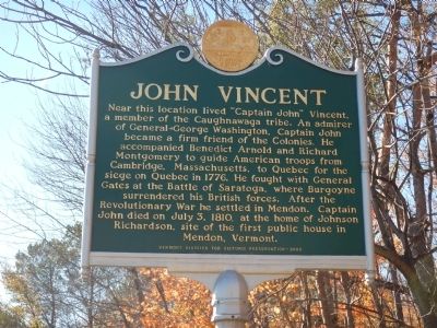
Near this location lived "Captain John" Vincent, a member of the Caughnawaga tribe. An admirer of General George Washington, Captain John became a firm friend of the Colonies. He accompanied Benedict Arnold and Richard Montgomery to guide American troops from Cambridge, Massachusetts, to Quebec for the siege on Quebec in 1776. He fought with General Gates at the Battle of Saratoga, where Burgoyne surrendered his British forces. After the Revolutionary War he settled in Mendon. Captain John died on July 3, 1810, at the home of Johnson Richardson, site of the first public house in Mendon, Vermont.
Erected 2003 by Vermont Division of Historic Preservation.
Topics. This historical marker is listed in these topic lists: Native Americans • War, US Revolutionary. A significant historical month for this entry is July 1763.
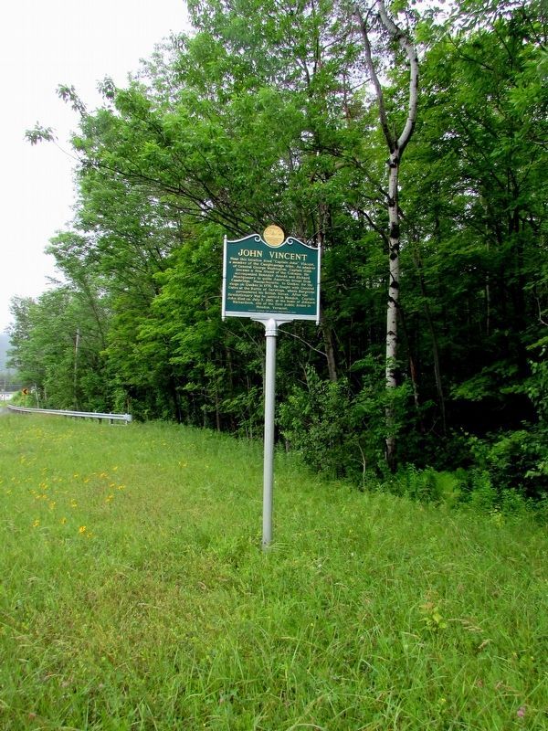
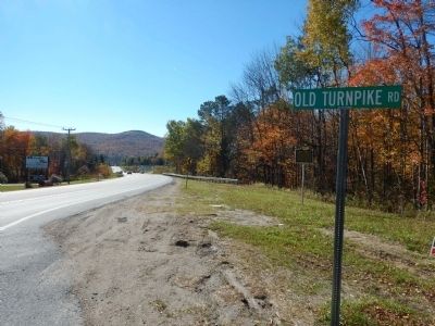
Location. 43° 39.327′ N, 72° 53.226′ W. Marker is in Mendon, Vermont, in Rutland County. Marker is at the intersection of U.S. 4 and Old Turnpike Road, on the right when traveling west on U.S. 4. Touch for map. Marker is in this post office area: Rutland VT 05701, United States of America. Touch for directions.
Other nearby markers. At least 8 other markers are within 6 miles of this marker, measured as the crow flies. Edward Hastings Ripley (approx. 2.1 miles away); Mt. Killington (approx. 4.9 miles away); Martin Henry Freeman (approx. 5.2 miles away); Fort Rutland Memorial (approx. 5.3 miles away); John Deere (approx. 5.4 miles away); Old State House (approx. 5.4 miles away); a different marker also named Old State House (approx. 5.4 miles away); Green Mountain Boys (approx. 5.4 miles away).
Credits. This page was last revised on December 24, 2019. It was originally submitted on October 21, 2014, by Kevin Craft of Bedford, Quebec. This page has been viewed 864 times since then and 131 times this year. Photos: 1. submitted on October 21, 2014, by Kevin Craft of Bedford, Quebec. 2. submitted on July 13, 2017, by Bill Coughlin of Woodland Park, New Jersey. 3. submitted on October 21, 2014, by Kevin Craft of Bedford, Quebec. • Bill Pfingsten was the editor who published this page.


