Brandon in Rutland County, Vermont — The American Northeast (New England)
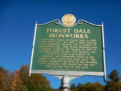
Forest Dale Ironworks
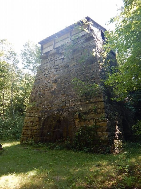
Ironworking began at Forest Dale in 1810 using local ore. By 1823 a blast furnace was producing pig iron and a variety of ornamental iron. The Green Mountain Iron Company acquired the facility in 1854 to produce parlor stoves. The furnace was refitted to burn coal instead of charcoal, but apparently failed as the furnace shut down that same year. The furnace reopened in 1865 as the Brandon Iron Company, but closed for the last time by the end of that year.
Erected 1991 by Vermont Division for Historic Preservation.
Topics. This historical marker is listed in this topic list: Industry & Commerce. A significant historical year for this entry is 1810.
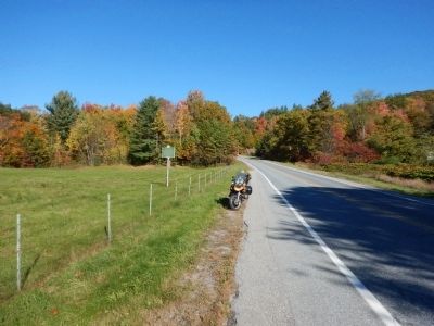
Location. 43° 49.877′ N, 73° 2.859′ W. Marker is in Brandon, Vermont, in Rutland County. Marker is on Forest Dale Road (Vermont Route 73) 0.4 miles east of North Street (Vermont Route 53), on the right when traveling west. Touch for map. Marker is in this post office area: Brandon VT 05733, United States of America. Touch for directions.
Other nearby markers. At least 8 other markers are within 8 miles of this marker, measured as the crow flies. The Ruth Stone House / Green Apples (approx. 2.9 miles away); Brandon Civil War Memorial (approx. 3 miles away); Brandon Training School (approx. 3.1 miles away); Stephen A. Douglas (approx. 3.1 miles away); a different marker also named Stephen A. Douglas (approx. 3.2 miles away); Fort Vengeance (approx. 5.8 miles away); Kendrick Dam, Pond, Mill, and Ice House (approx. 7.6 miles away); Hammond Covered Bridge (approx. 7.7 miles away). Touch for a list and map of all markers in Brandon.
Credits. This page was last revised on August 29, 2016. It was originally submitted on October 21, 2014, by Kevin Craft of Bedford, Quebec. This page has been viewed 644 times since then and 34 times this year. Photos: 1, 2. submitted on October 21, 2014, by Kevin Craft of Bedford, Quebec. 3. submitted on August 29, 2016, by Kevin Craft of Bedford, Quebec. • Bill Pfingsten was the editor who published this page.


