Carlton in Orleans County, New York — The American Northeast (Mid-Atlantic)
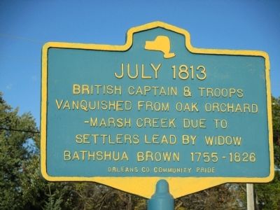
July 1813
vanquished from Oak Orchard
-Marsh Creek due to
settlers lead by widow
Bathshua Brown 1755-1826
Erected by Orleans County Community Pride.
Topics. This historical marker is listed in this topic list: War of 1812. A significant historical month for this entry is July 1813.
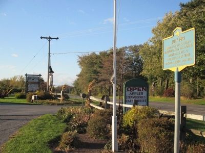
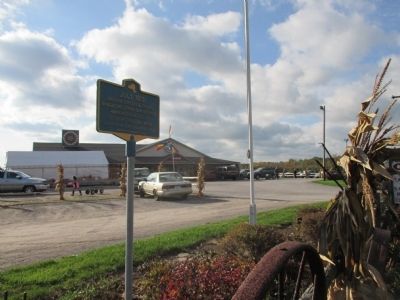
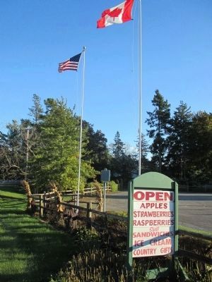
Location. 43° 21.209′ N, 78° 11.887′ W. Marker is in Carlton, New York, in Orleans County. Marker is at the intersection of Roosevelt Highway (New York State Route 18) and Oak Orchard River Road (County Route 26), on the right when traveling east on Roosevelt Highway. Marker is between the roadside flagpoles at Brown's Berry Patch. Oak Orchard River Road diverges from Roosevelt Highway here. Touch for map. Marker is at or near this postal address: 14264 Roosevelt Highway, Waterport NY 14571, United States of America. Touch for directions.
Other nearby markers. At least 8 other markers are within 5 miles of this marker, measured as the crow flies. Cobblestone Wall Section (approx. 0.7 miles away); Fishing Camp (approx. 1.3 miles away); Fording Place (approx. 2.4 miles away); Sir William Johnson (approx. 2˝ miles away); Kuckville Church erected in 1835 (approx. 3.4 miles away); Johnson Creek (approx. 3.6 miles away); Gaines District No.5 1849 School House (approx. 4.6 miles away); Pioneer Settler (approx. 4.6 miles away). Touch for a list and map of all markers in Carlton.
Credits. This page was last revised on August 5, 2022. It was originally submitted on October 25, 2014, by Anton Schwarzmueller of Wilson, New York. This page has been viewed 509 times since then and 14 times this year. Photos: 1, 2, 3, 4. submitted on October 25, 2014, by Anton Schwarzmueller of Wilson, New York. • Bill Pfingsten was the editor who published this page.


