Near Chatham in Chatham-Kent, Ontario — Central Canada (North America)
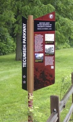
British Army River Crossing to Dolsen's Landing
Friday, October 1, 1813
— Tecumseh Parkway —
Inscription.
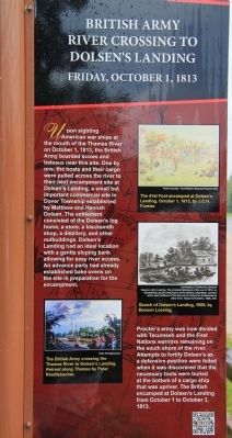
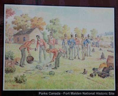
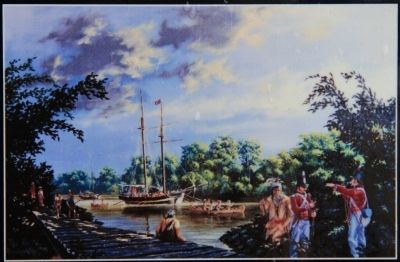
Upon sighting American war ships at the mouth of the Thames River on October 1, 1813, the British Army boarded scows and bateaux near this site. One by one, the boats and their cargo were pulled across the river to their next encampment site at Dolsen's Landing, a small but important commercial site in Dover Township established by Matthew and Hannah Dolsen. The settlement consisted of the Dolsen's log home, a store, a blacksmith shop, a distillery, and other outbuildings. Dolsen's Landing had an ideal location with a gentle sloping bank allowing for easy river access. An advance party had already established bake ovens on the site in preparation for the encampment.
Procter's army was now divided with Tecumseh and the First Nations warriors remaining on the south shore of the river. Attempts to fortify Dolsen's as a defensive position were foiled when it was discovered that the necessary tools were buried at the bottom of a cargo ship that was upriver. The British encamped at Dolsen's Landing from October 1 to October 3, 1813.
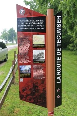
French
Après avoir repère les navires de guerre américains, à l’embouchure de la rivière Thames le 1er octobre 1813, l’armée britannique embarque sur des accons et des bateaux situés et près de ce site. Un par un, les bateaux et leur chargement traversèrent de l’autre côte de la rivière jusqu’au campement à Dolsen’s Landing, un petit site commercial, mais très important du canton de Dover. établit par Matthew et Hannah Dolsen. Cette colonie était composée de la maison en rondins des Dolsen, un magasin, un forge, une distillerie, et autres dépendances. Dolsen’s Landing offrait un lieu idéal muni d’une rive en pent douce permettant un accès facile à la rivière. Un détachement avait déjà établi de fours sur le sit pour préparer le campement.
L’armée de Procter était maintenant divisée avec Tecumseh et les guerriers de Première Nations demeurés sur la rive sud de la rivière. Les tentatives de fortifier Dolsen’s Landing, pour en faire une position défensive, échouèrent lorsqu’on s’aperçut que les outils nécessaires étaient enfouis dans les cales d’un bateau de marchandise qui se trouvait en amont. Les Britanniques établirent leur campement à Dolsen’s Landing du 1er au 3 octobre 1813.
Erected by Tecumseh Parkway.
Topics. This historical marker is listed in these topic lists: Native Americans • Settlements & Settlers • War of 1812. A significant historical month for this entry is October 1904.
Location. 42° 23.307′ N, 82° 13.738′ W. Marker is near Chatham, Ontario, in
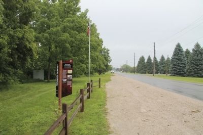
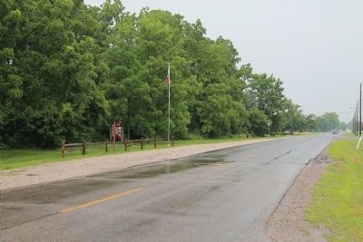
Chatham-Kent. Marker is on Riverview Line just west of Bloomfield Road, on the left when traveling east. This historical marker is located a short distance west of Chatham, at a small roadside park, on the north side of the road, very near the Thames River. Touch for map. Marker is at or near this postal address: 7784 Riverview Line, Chatham ON N7M 5J5, Canada. Touch for directions.
Other nearby markers. At least 8 other markers are within 5 kilometers of this marker, measured as the crow flies. Skirmish at McCrae's House (approx. 1.9 kilometers away); First Nations Encampment: Thomas McCrae Farm (approx. 1.9 kilometers away); a different marker also named Skirmish at McCrae's House (approx. 1.9 kilometers away); Casualties of the Skirmish (approx. 4.2 kilometers away); Skirmish at the Forks (approx. 4.2 kilometers away); a different marker also named Skirmish at the Forks (approx. 4.2 kilometers away); British Encampment: Forks of the Thames (approx. 4.2 kilometers away); The Forks (approx. 4.2 kilometers away). Touch for a list and map of all markers in Chatham.
Also see . . .
1. Tecumseh Parkway | Longwoods Barn Quilt Trail. This is a link to an article regarding the Tecumseh Parkway that is provided by the Longwoods Barn Quilt Trail website. (Submitted on January 17, 2014, by Dale K. Benington of Toledo, Ohio.)
2. Tecumseh Parkway officially launched - Chatham Daily News. This is a link to a news article regarding the Tecumseh Parkway provided by the Chatham Daily News. (Submitted on January 17, 2014, by Dale K. Benington of Toledo, Ohio.)
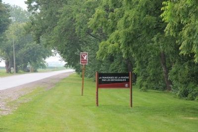
Photographed By Dale K. Benington, July 23, 2013
9. British Army River Crossing to Dolsen's Landing Marker
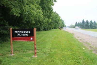
View looking west, along Riverview Line, of the French text sign that alters motorists that they are approaching the featured historical marker, as well as an additional sign that alters motorists to yet another Tecumseh Parkway marker, 2 kilometers down the road.
Credits. This page was last revised on January 24, 2022. It was originally submitted on January 17, 2014, by Dale K. Benington of Toledo, Ohio. This page has been viewed 927 times since then and 27 times this year. Last updated on October 26, 2021, by Carl Gordon Moore Jr. of North East, Maryland. Photos: 1, 2, 3, 4, 5, 6, 7, 8, 9. submitted on January 17, 2014, by Dale K. Benington of Toledo, Ohio. • J. Makali Bruton was the editor who published this page.
