Hacker's Creek / Jane Lew
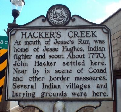
Hacker's Creek
At mouth of Jesse's Run was home of Jesse Hughes, Indian fighter and scout. About 1770, John Hacker settled here. Near by is scene of Cozad and other border massacres. Several Indian villages and burying grounds were here.
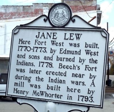
Jane Lew
Here Fort West was built, 1770-1773, by Edmund West and sons and burned by the Indians, 1778. Beech's Fort was later erected near by during the Indian wars. A mill was built here by Henry McWhorter in 1793.
Topics and series. This historical marker is listed in these topic lists: Forts and Castles • Native Americans • Settlements & Settlers. In addition, it is included in the West Virginia Archives and History series list. A significant historical year for this entry is 1770.
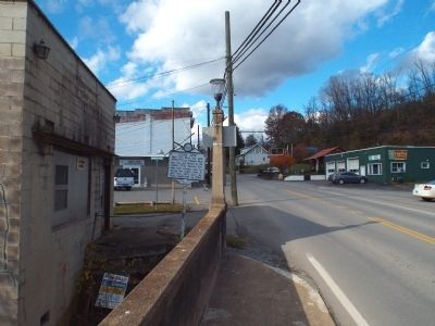
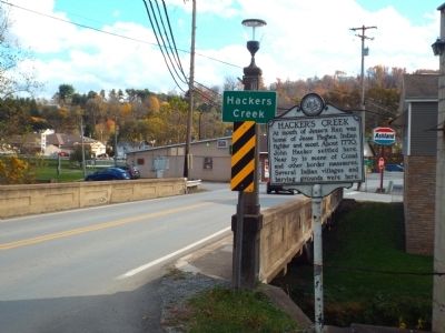
Location. Marker has been reported missing. It was located near 39° 6.578′ N, 80° 24.406′ W. Marker was in Jane Lew, West Virginia, in Lewis County. Marker was on Main Street (U.S. 19) 0.1 miles north of High Street (County Route 8), on the left when traveling north. Touch for map. Marker was at or near this postal address: 6113 Main Street, Jane Lew WV 26378, United States of America. Touch for directions.
Other nearby markers. At least 8 other markers are within 4 miles of this location, measured as the crow flies. Gen. Lightburn (within shouting distance of this marker); Dedicated To All Veterans (within shouting
Credits. This page was last revised on November 30, 2020. It was originally submitted on October 30, 2014, by Forest McDermott of Masontown, Pennsylvania. This page has been viewed 1,176 times since then and 140 times this year. Photos: 1, 2, 3, 4. submitted on October 30, 2014, by Forest McDermott of Masontown, Pennsylvania. • Bill Pfingsten was the editor who published this page.


